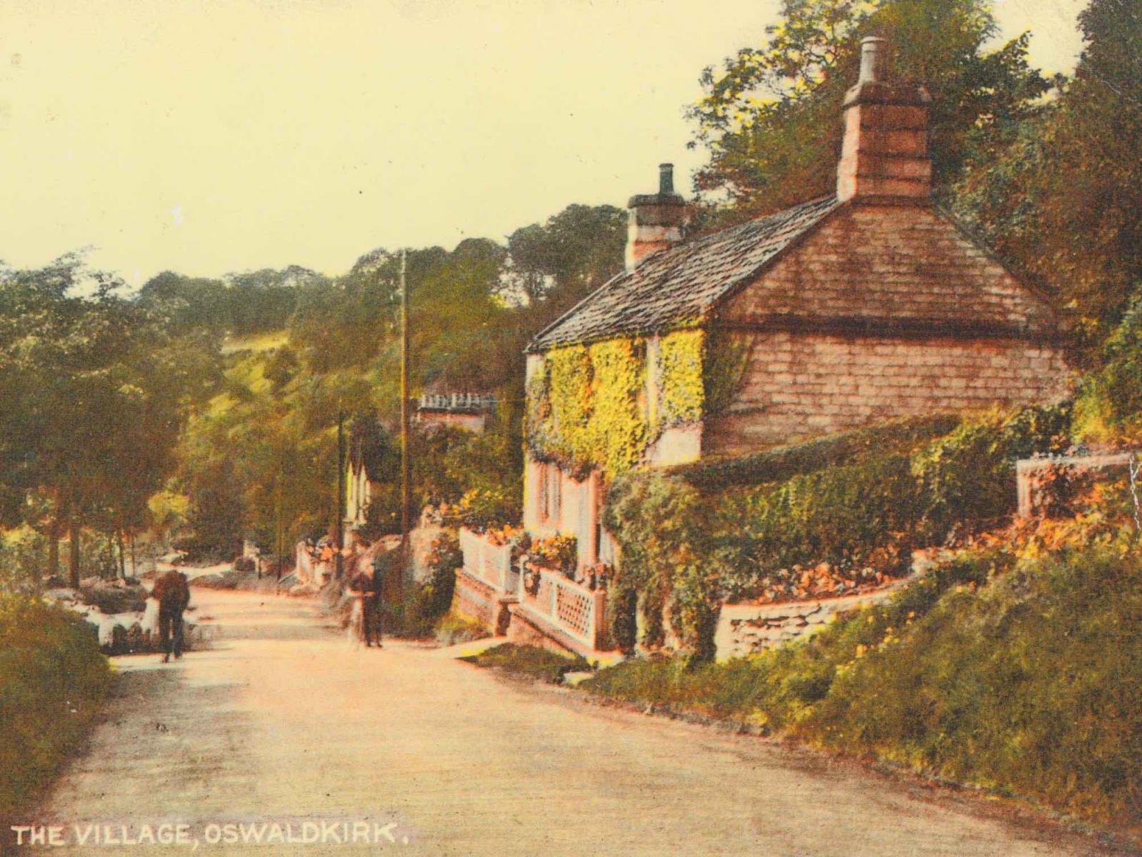
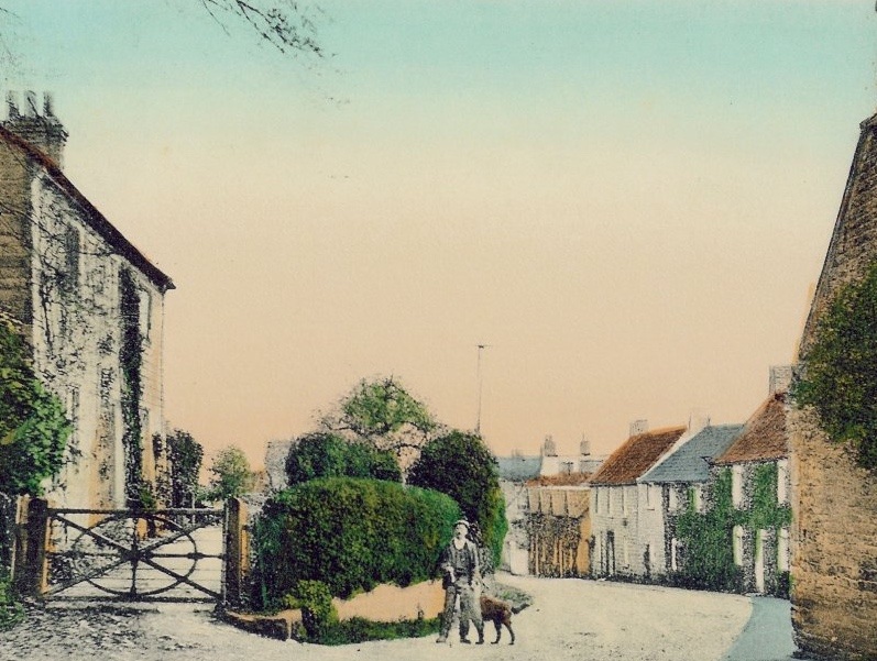
1600-1900
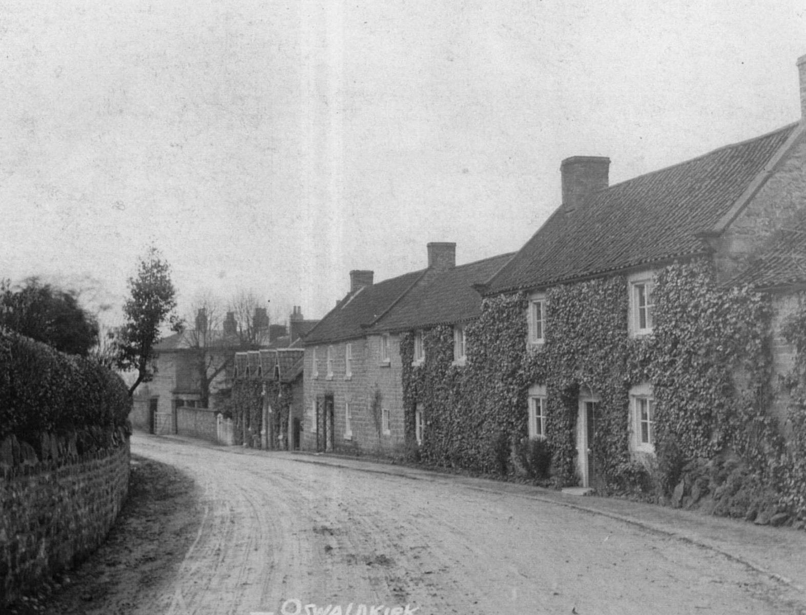
St Oswald’s c.1880
Speed map c.1610
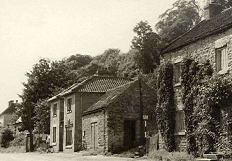
Main Street before the village hall was built
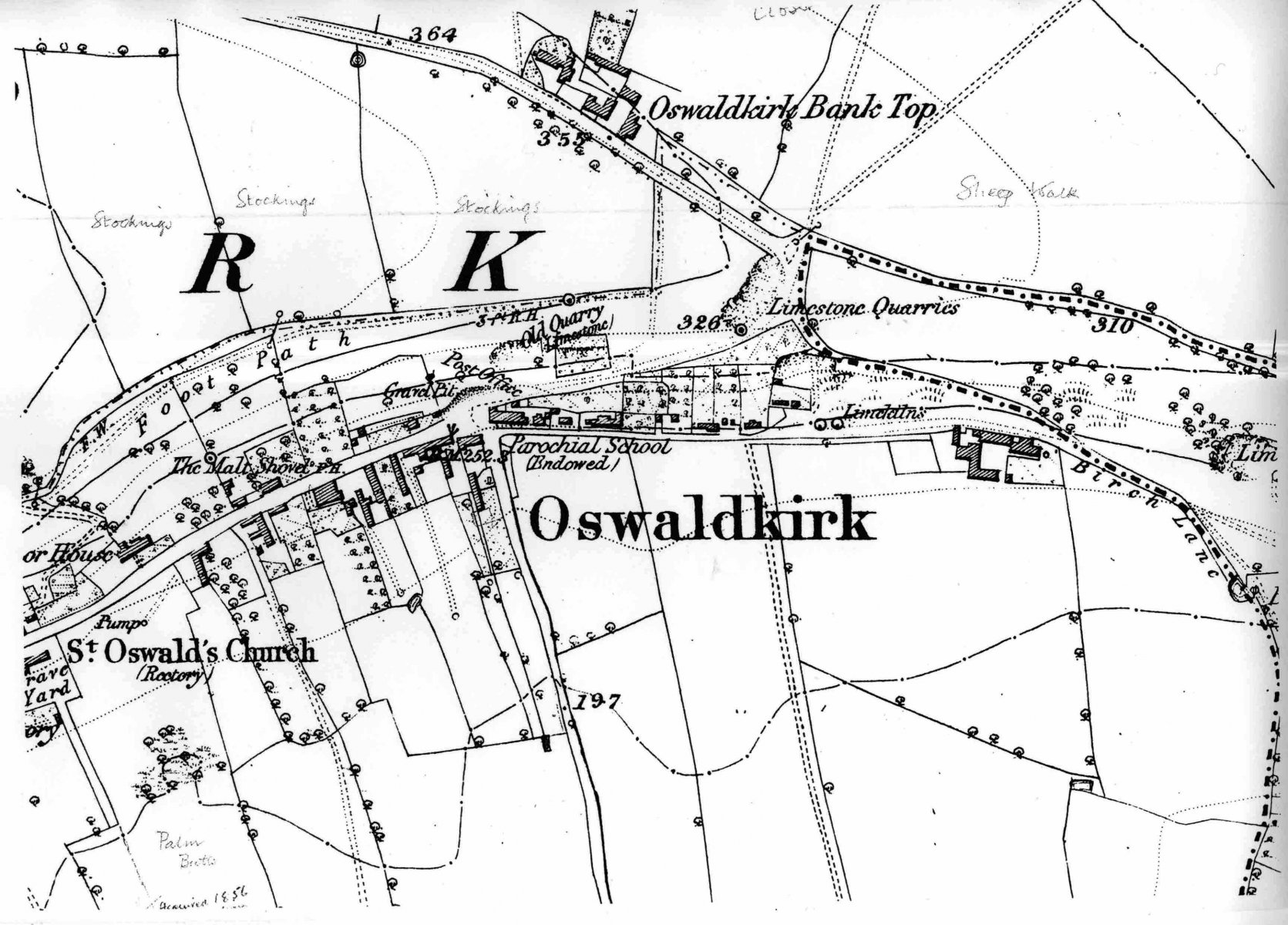
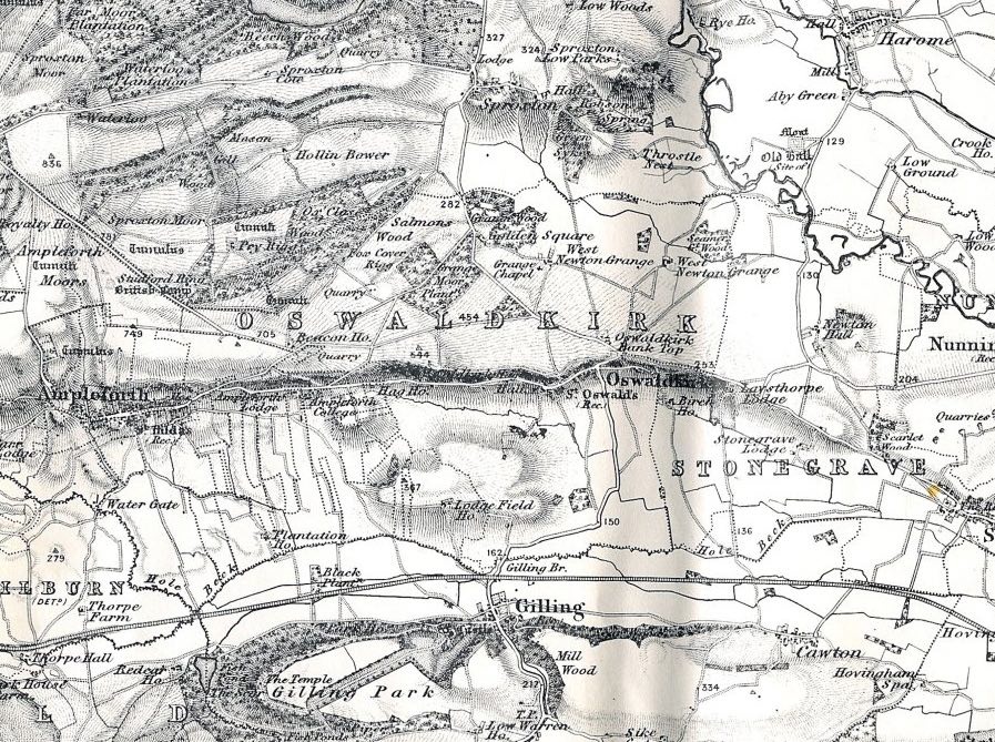
Ordnance Survey map 1854
One inch Ordnance Survey map c.1848-1854
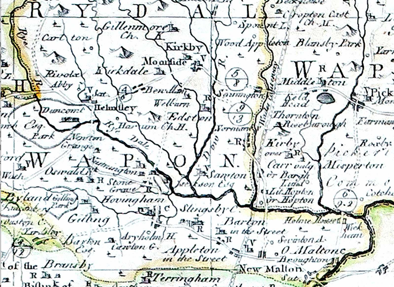
Map c.1700
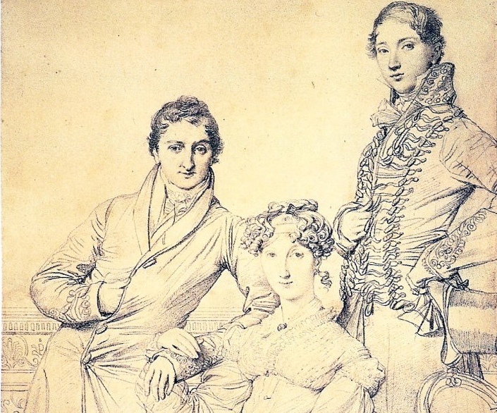
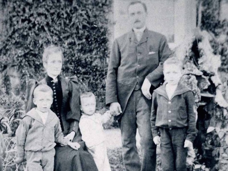
Comber family with George Wandesford c.1816
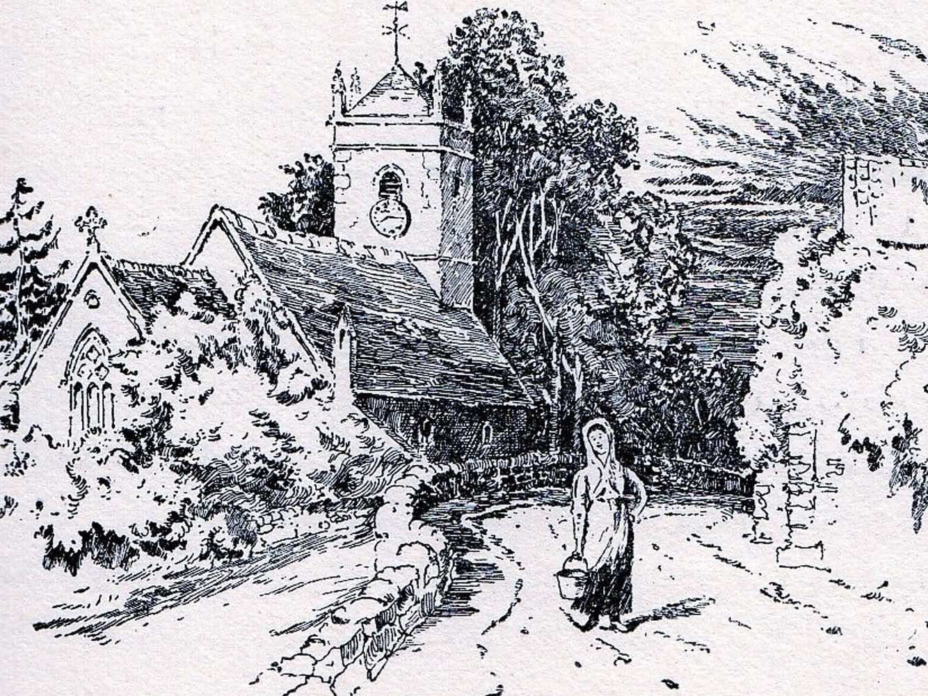
St Oswald’s church and wall of The White House c.1900
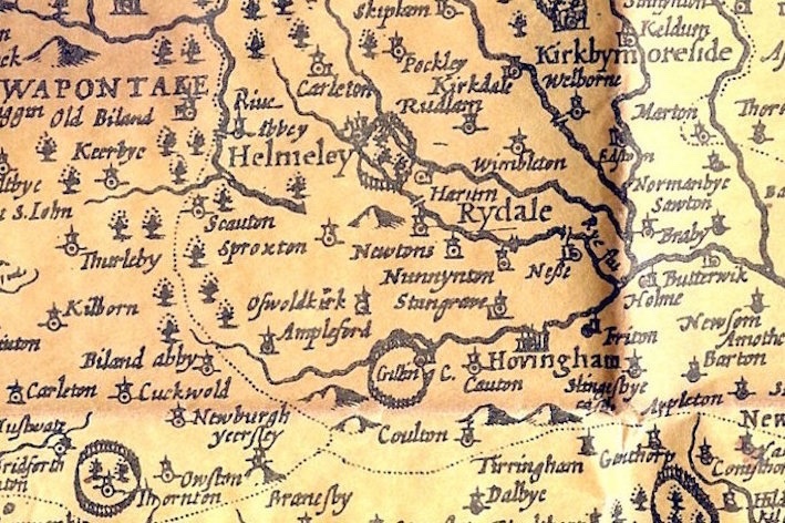
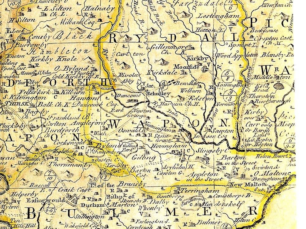
Bowen map c.1760
Bamber family c.1890
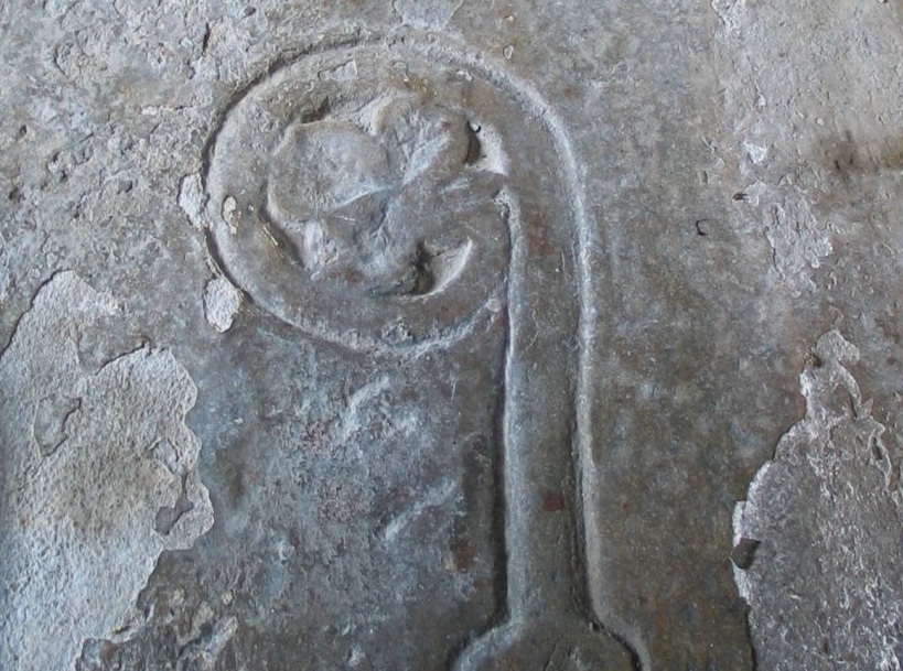
Abbot’s tombstone in St Oswald’s church
1900-1930
View from the Hag showing the estate yard

Bide-a-Wee cafe c1910
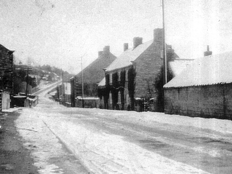
Main Street c.1930
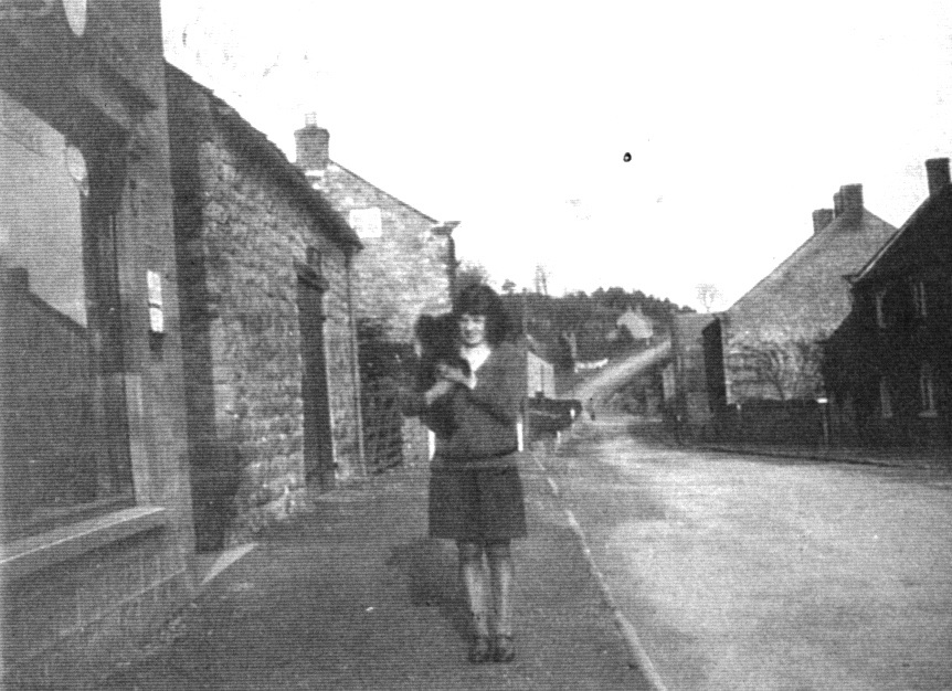
Nancy Gatenby outside the post office c.1928.
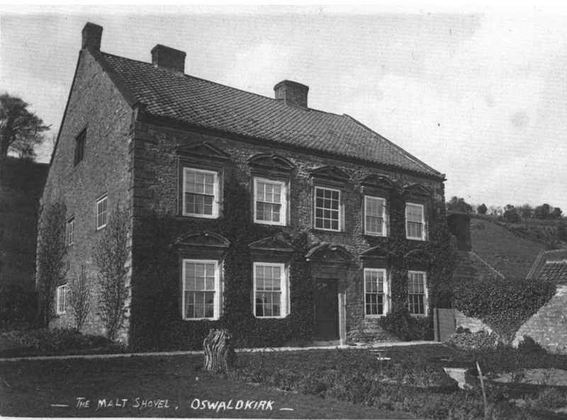
The Malt Shovel
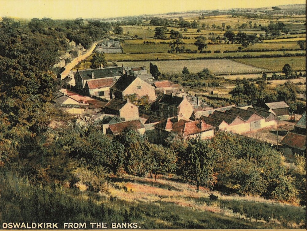
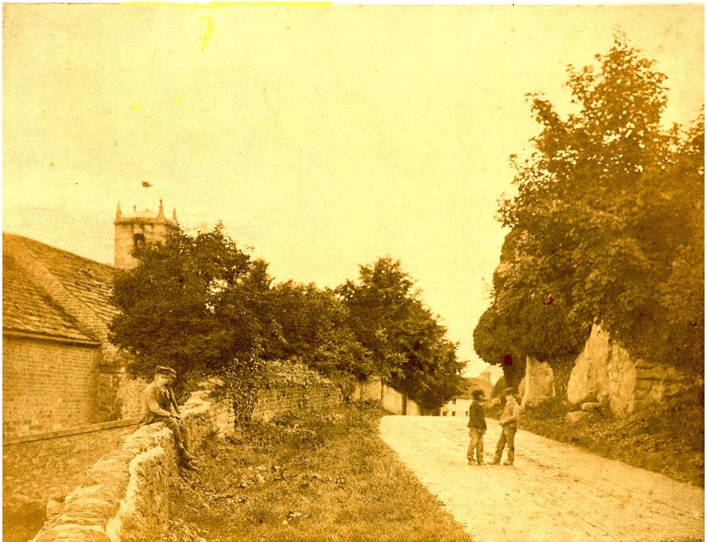
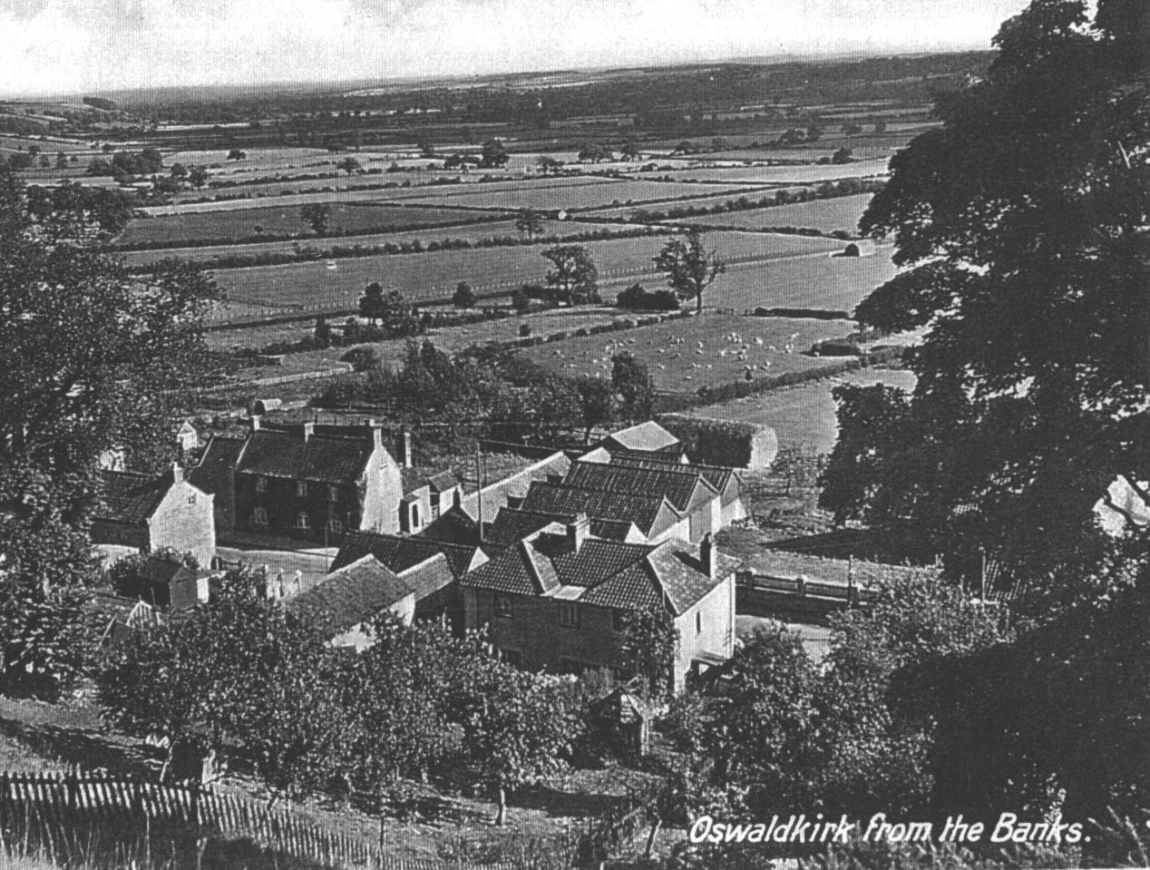
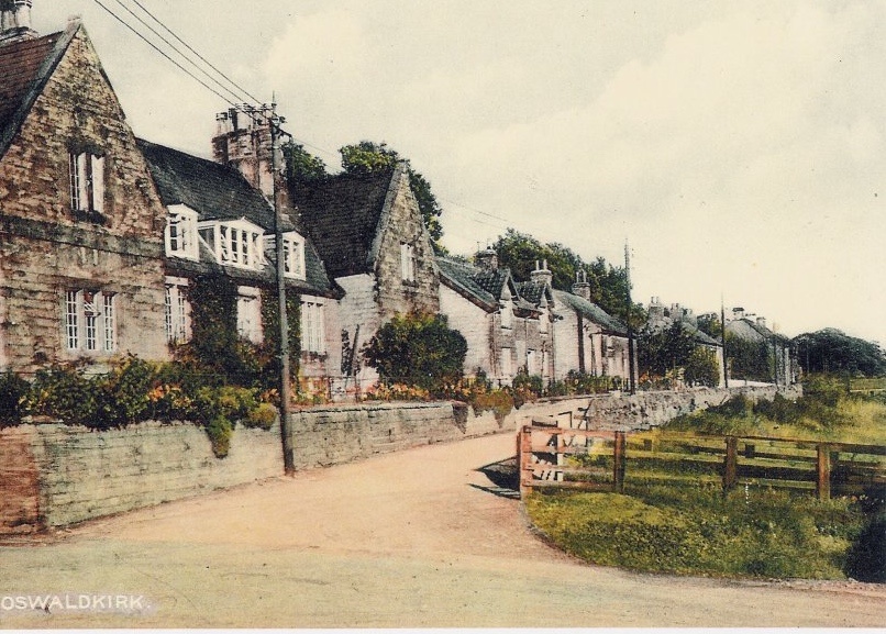
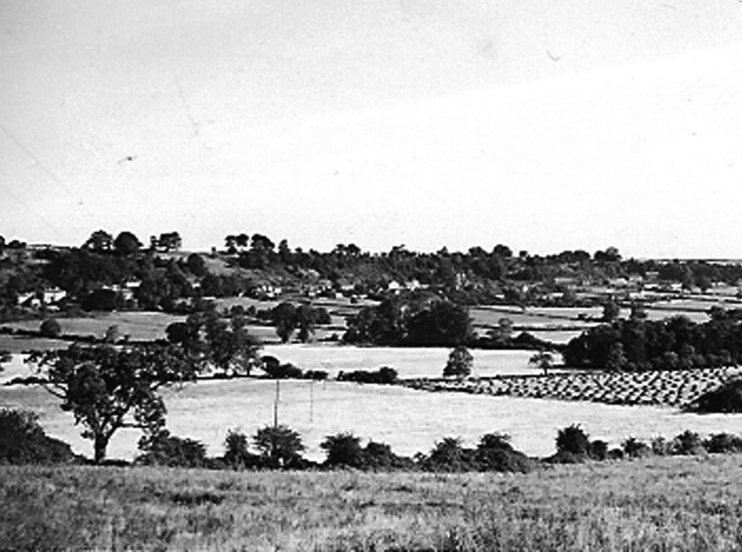
Oswaldkirk from the banks c.1920

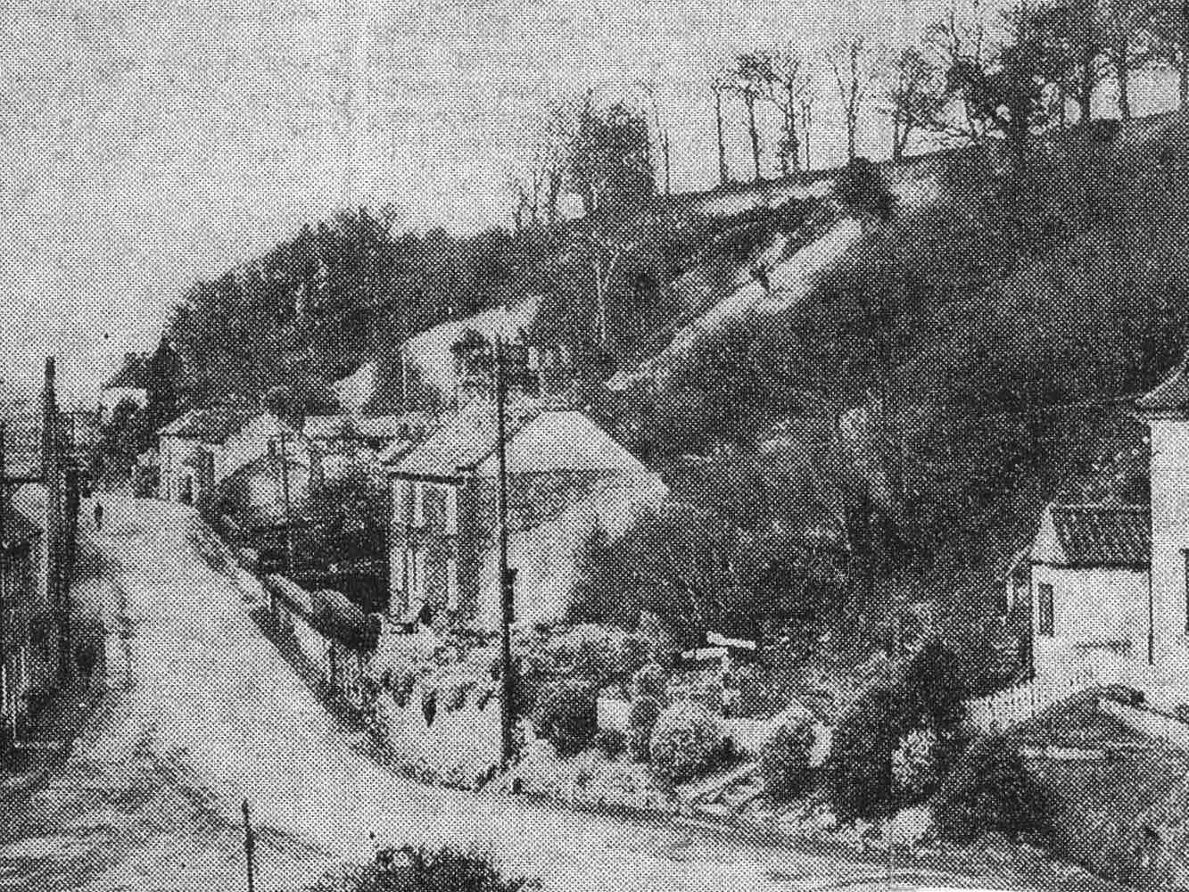
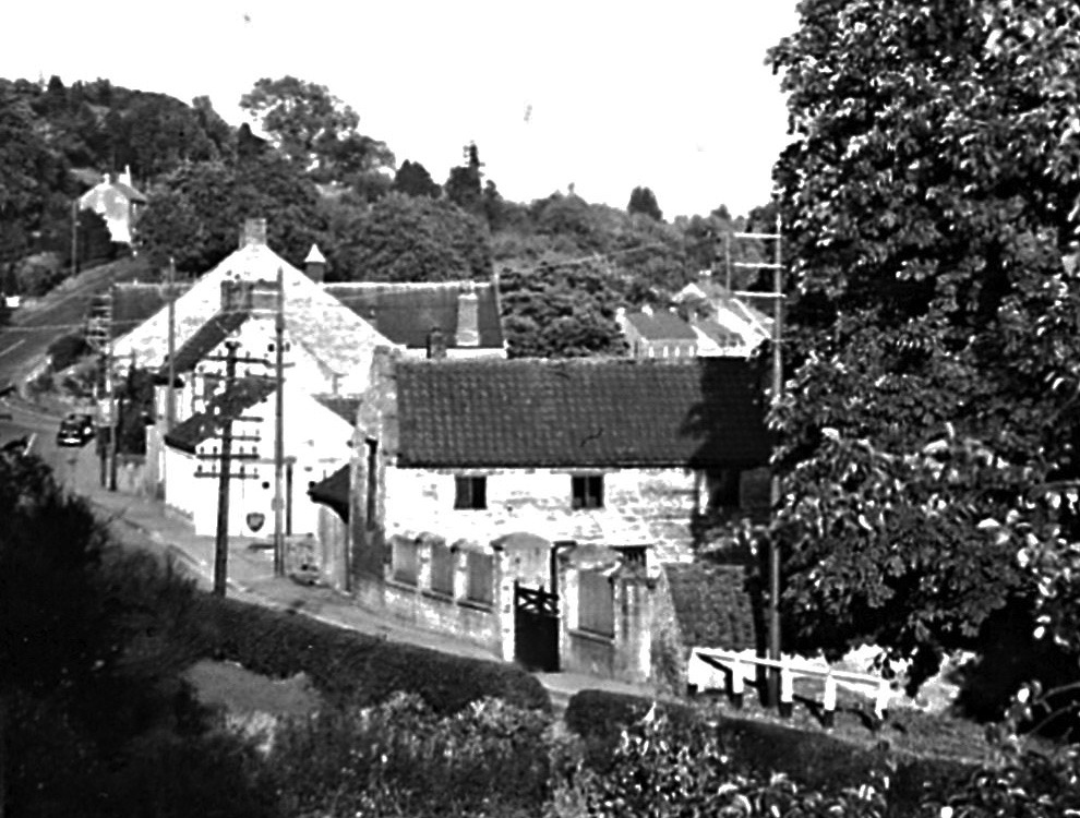
Oswaldkirk Bank c.1910
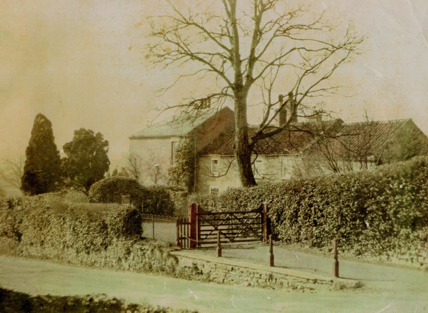
Road from Hall Farm to The Rectory
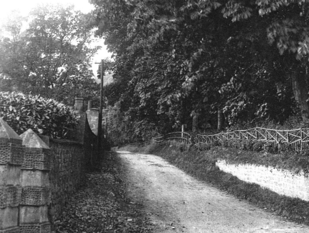
Road to Ampleforth before tarmac
Widening the Gilling Road c.1930
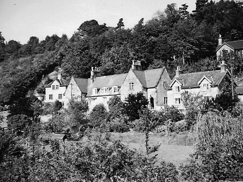
The Terrace c.1920s
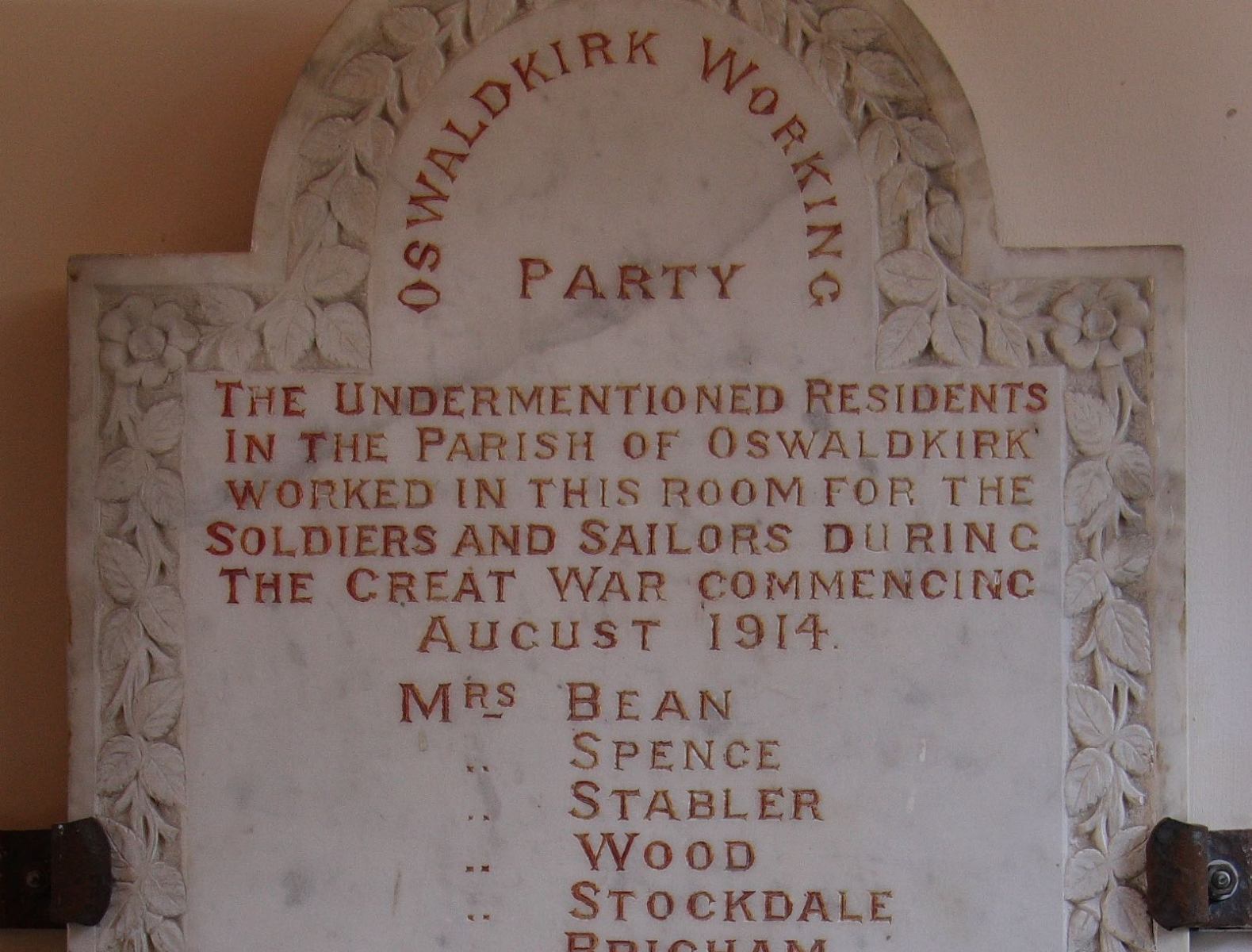
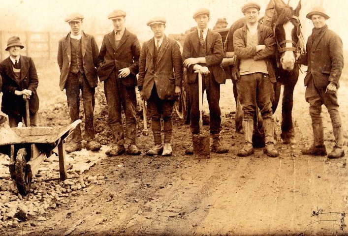
Oswaldkirk working party c.1914
1930s
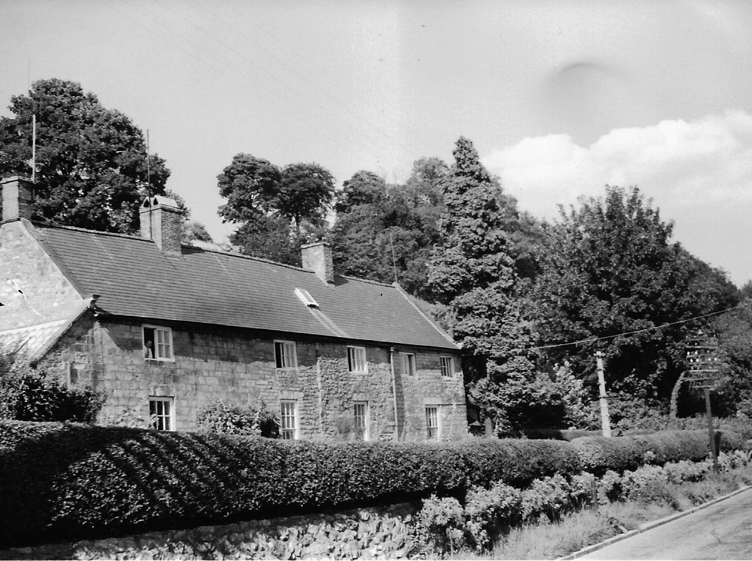
Ivy Cottage
The corner c.1935 (note footpath beside fence)
Gilling road, just widened 1938

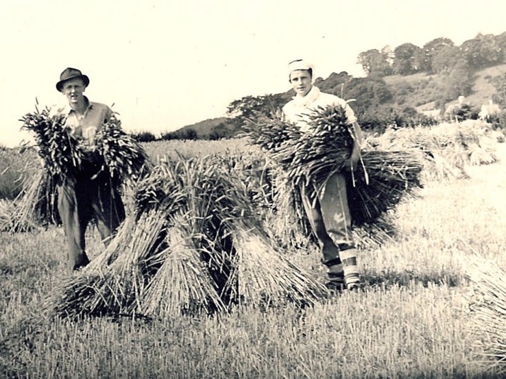
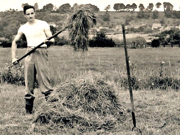
Sid Pickering and Arthur Horner haymaking at Broad Farm
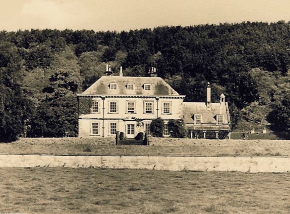
Oswaldkirk Hall from the south
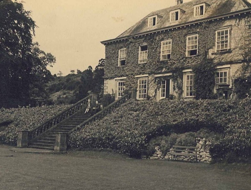
Oswaldkirk Hall with Gatty Smiths
The Bank police house c.1930
View of Rose Cottage from Hall gates c.1930
Tap providing water from artesian well on bank near Cliff House
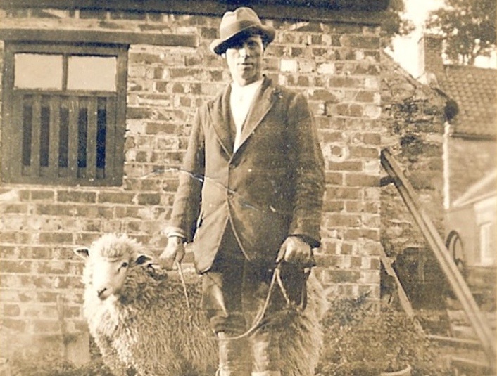
Sid Pickering at Manor Farm with sheep
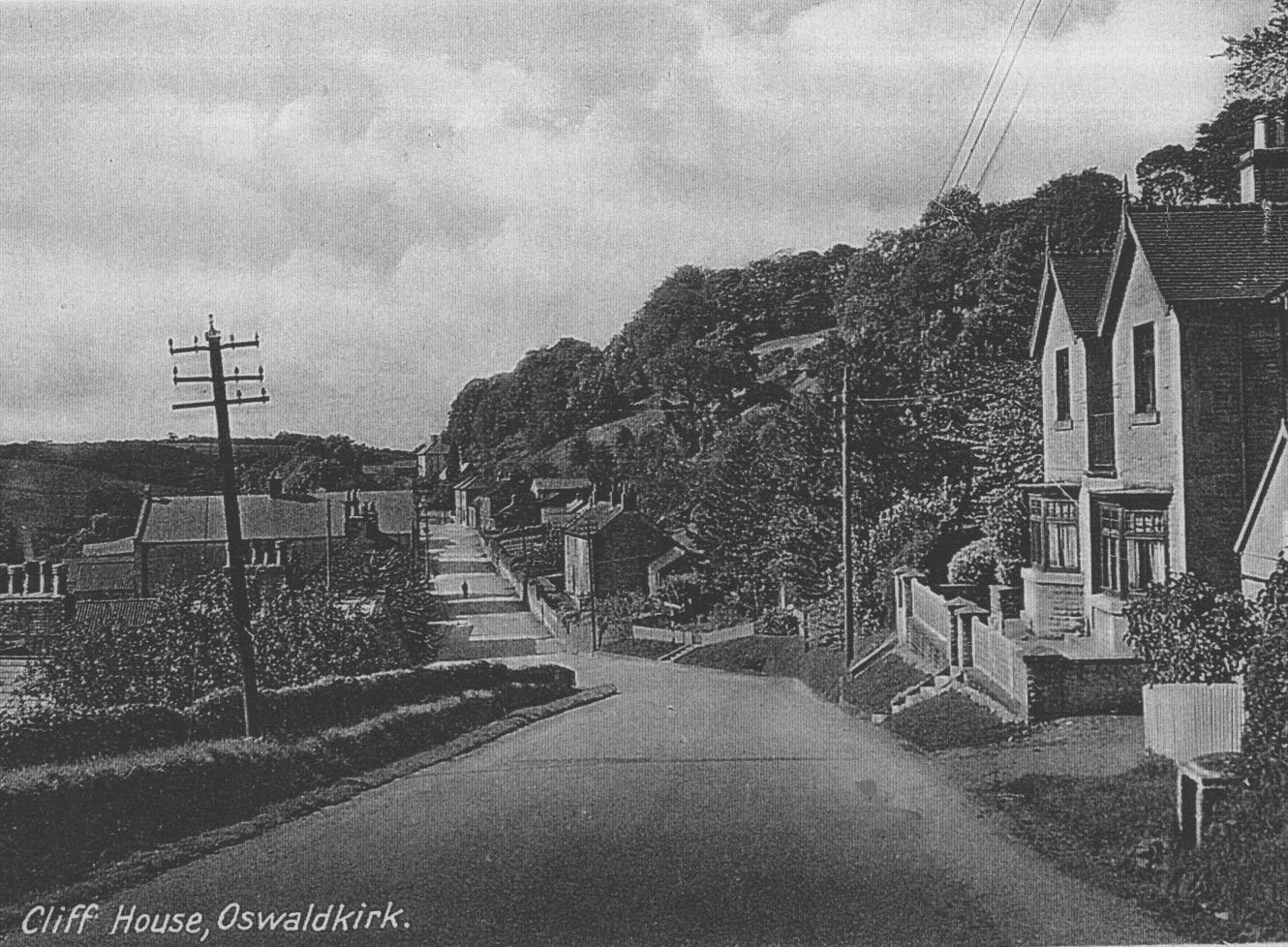
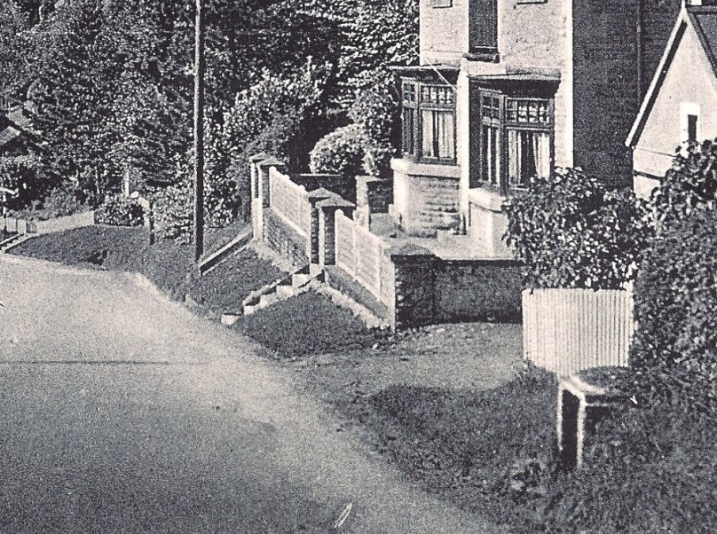
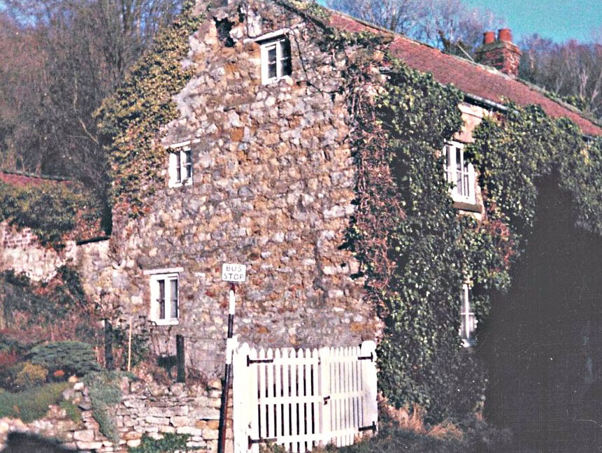
Cliff House c.1935

Oswaldkirk’s new telephone box c.1937
1940s
Ampleforth College boys helping the war effort
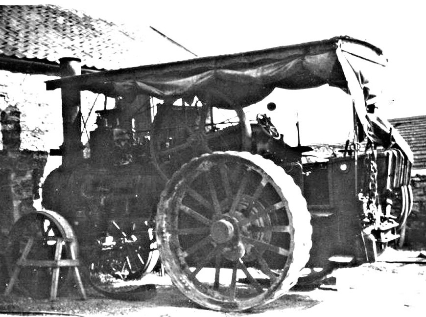
Harold Wood’s traction engine at White House barn c.1945
Mrs Rugg’s garden c.1948
College boys harvesting in the war time
The Manor House c.1946
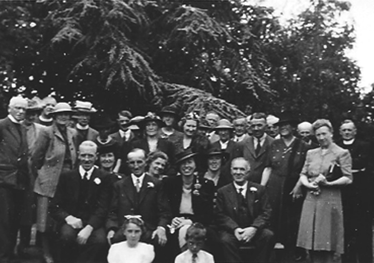
Party at The Rectory, 9th August 1944

Post Office and shop before The White House was built.
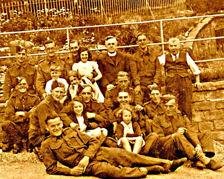
Soldiers and evacuees billeted during WWII
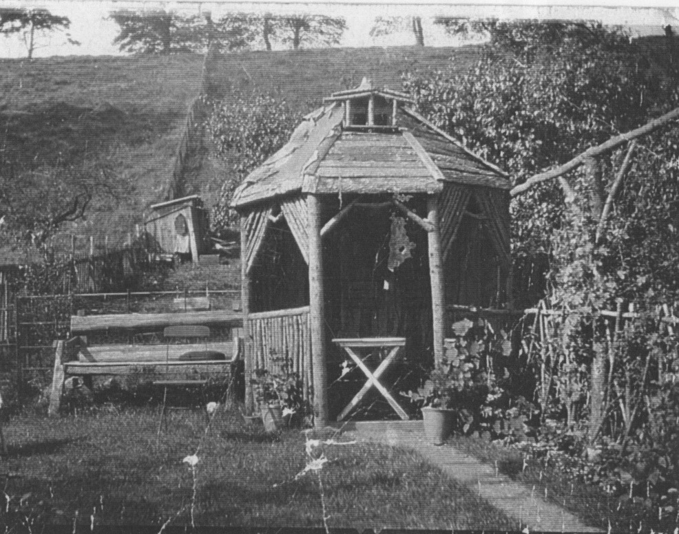
Summer House at the post office

Looking north towards Ledbrooke House and The Terrace c.1945
1950s
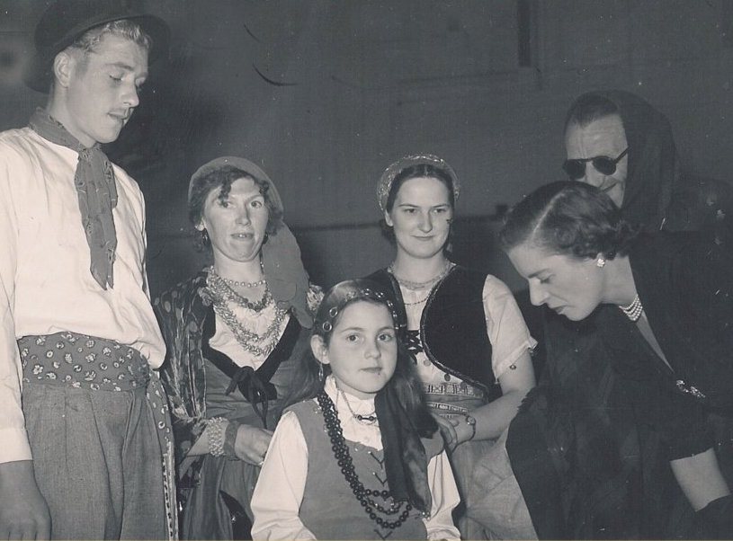
Gypsy ball, 2 September 195x
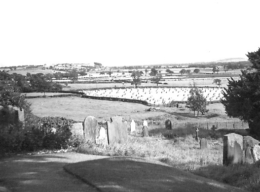
View from St Oswald’s churchyard c.1946
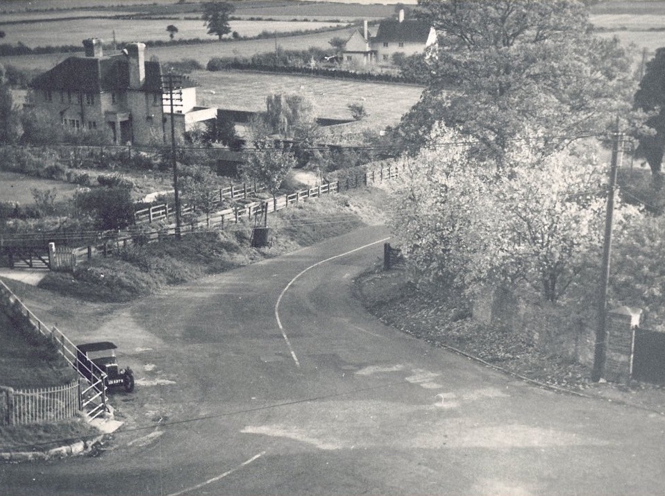
View down Gilling Road from Crag Cottage c.1950

Ike White’s garage, 1955
Mrs Rugg’s garden c.1955
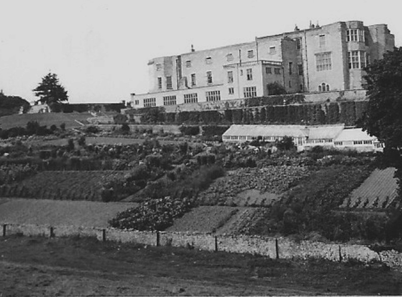
Gilling Castle and garden c.1950

Ivy Cottage c.1954
Manor Farm, estates yard and White’s garage, c.1953
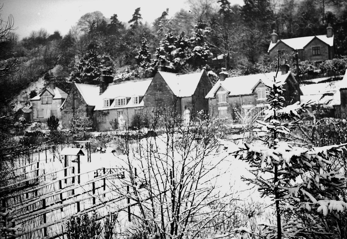
Oswaldkirk from Spring Wood c.195x
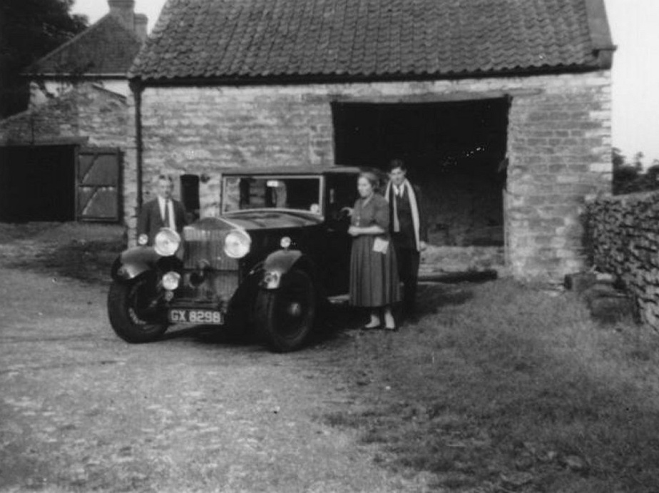
The Perry’s at White House barn with Adamson’s Rolls Royce c.1956
The Red House c.1950
1960s -1980s

View from The White House c.1960
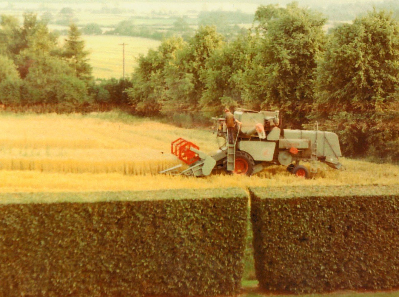
Reaper and binder c.1968

Village hall and pub barn c.1980

Oswaldkirk from the air 1980s (wide view)
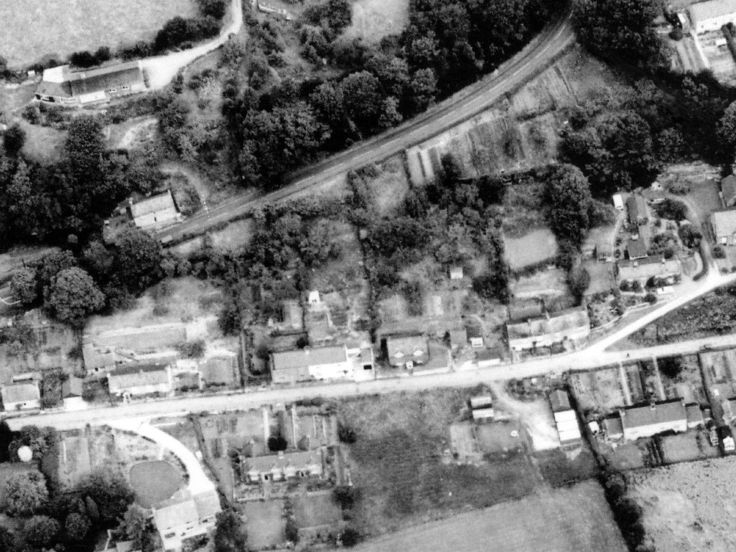
Aerial photo of Bank Road, c.1977
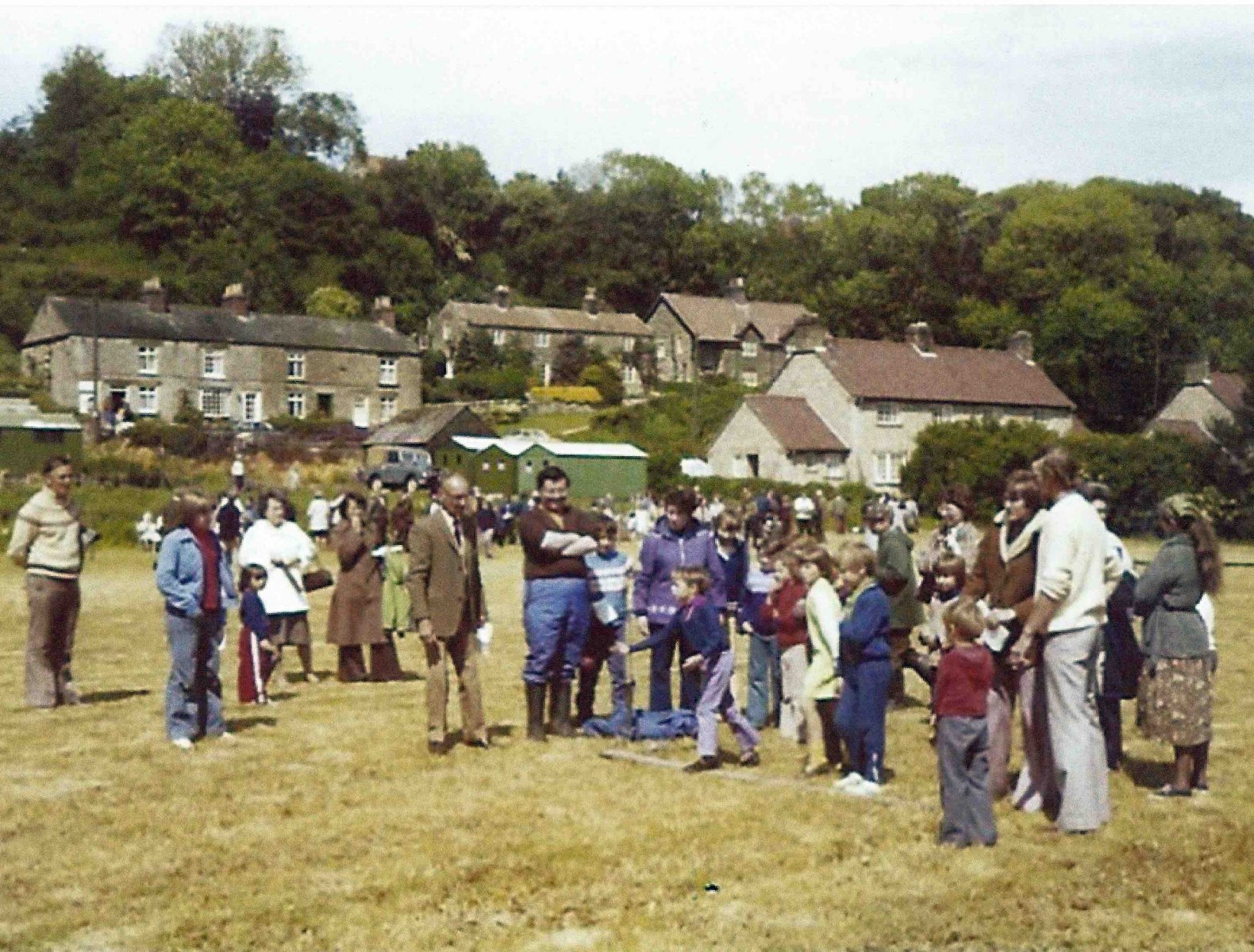
Jubilee celebrations 1977
Ivy Cottage c.1985

Village lockup at Bank House
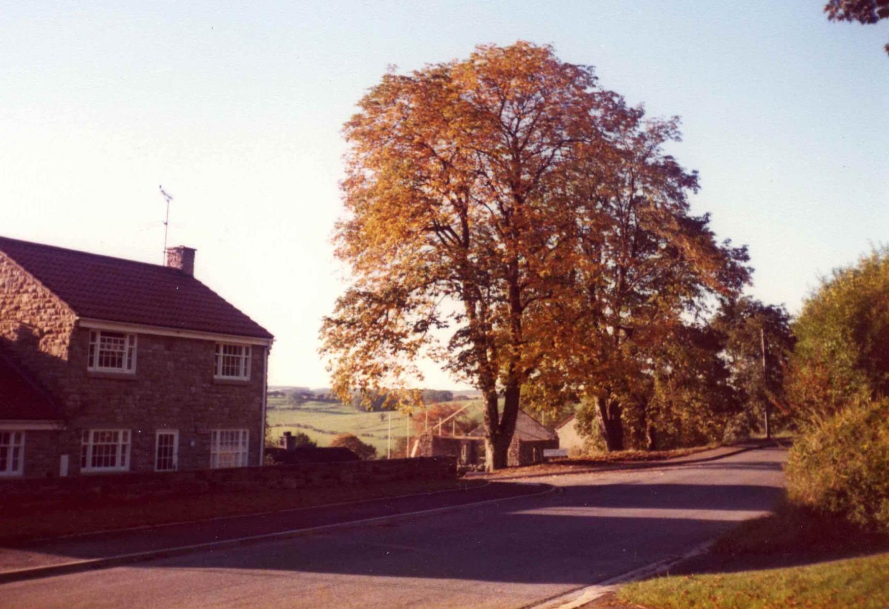
Manor View, 1977
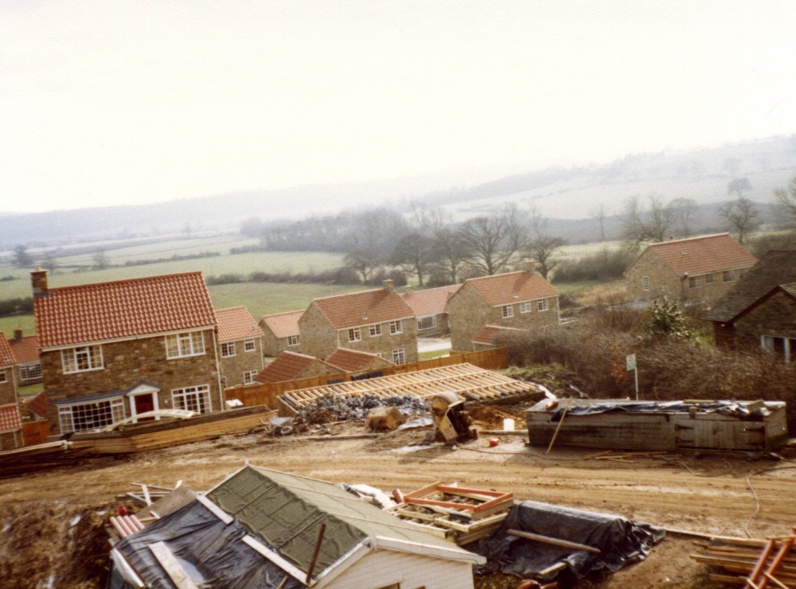
Manorfield garage being built 1979
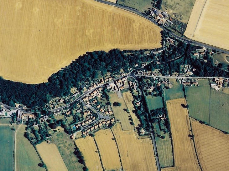
Oswaldkirk from the air 1980s (cropped)
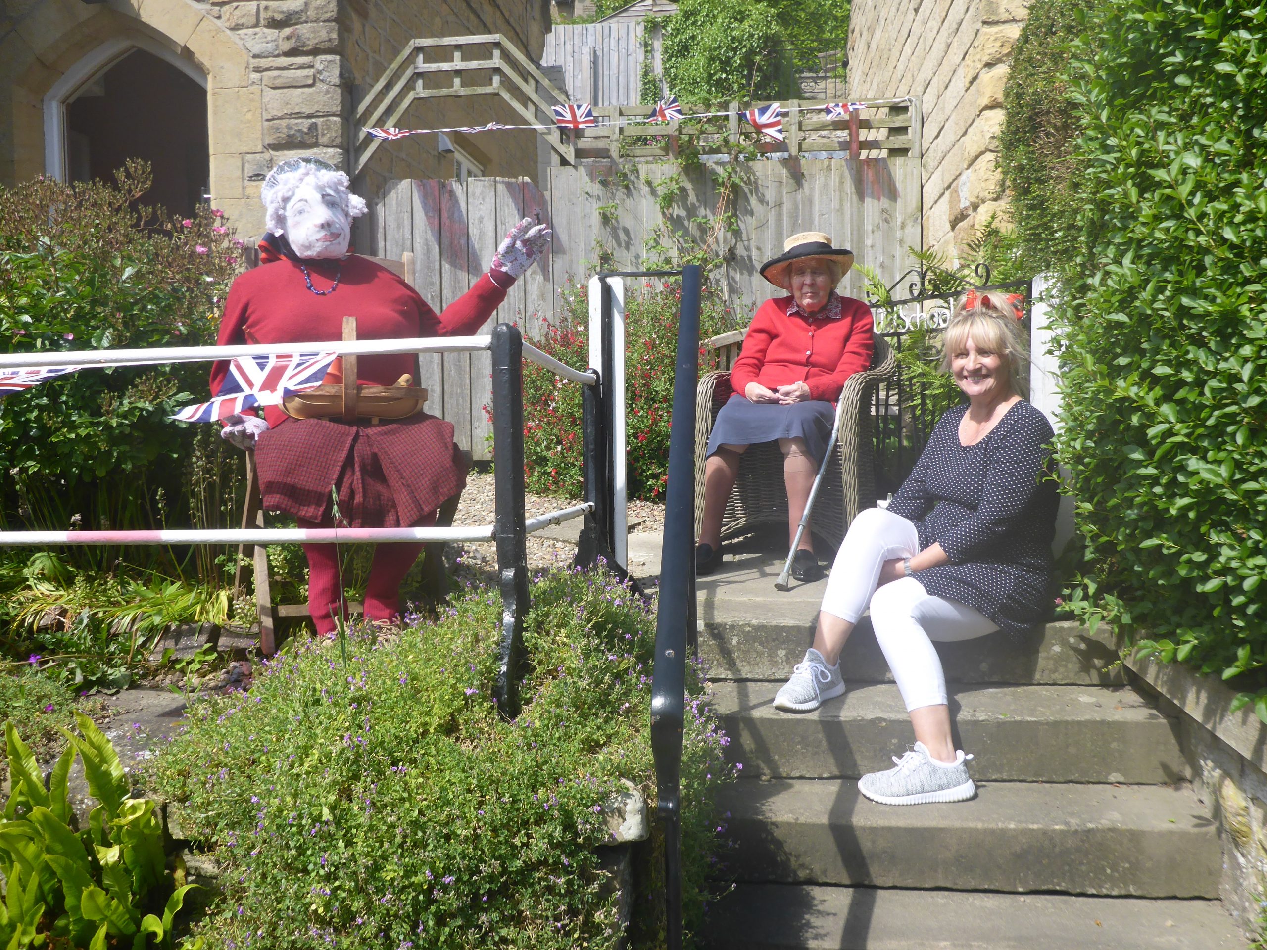
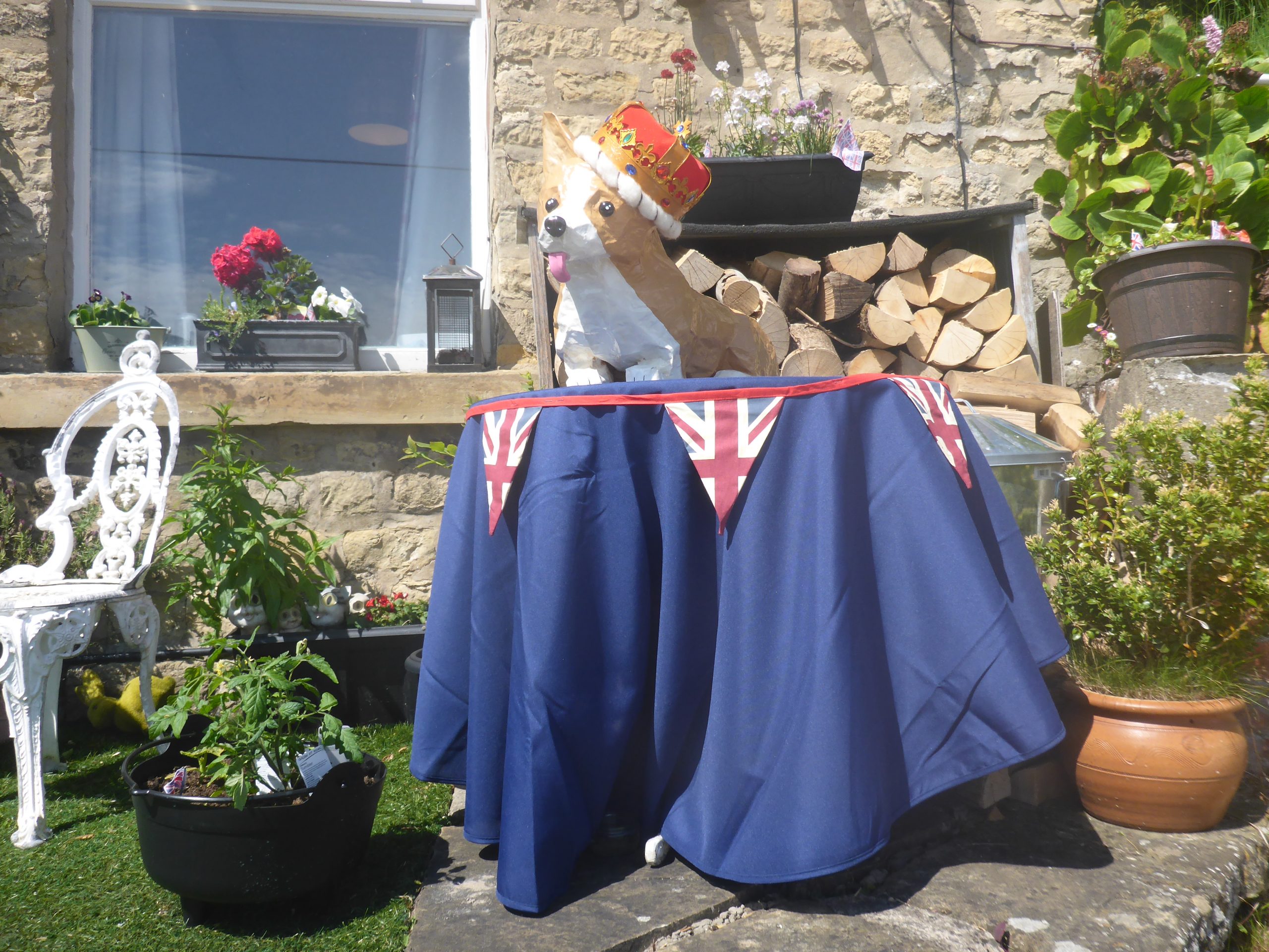
Queen Elizabeth II Platinum jubilee celebrations
Jubilee musical evening (2 Jun 2022)
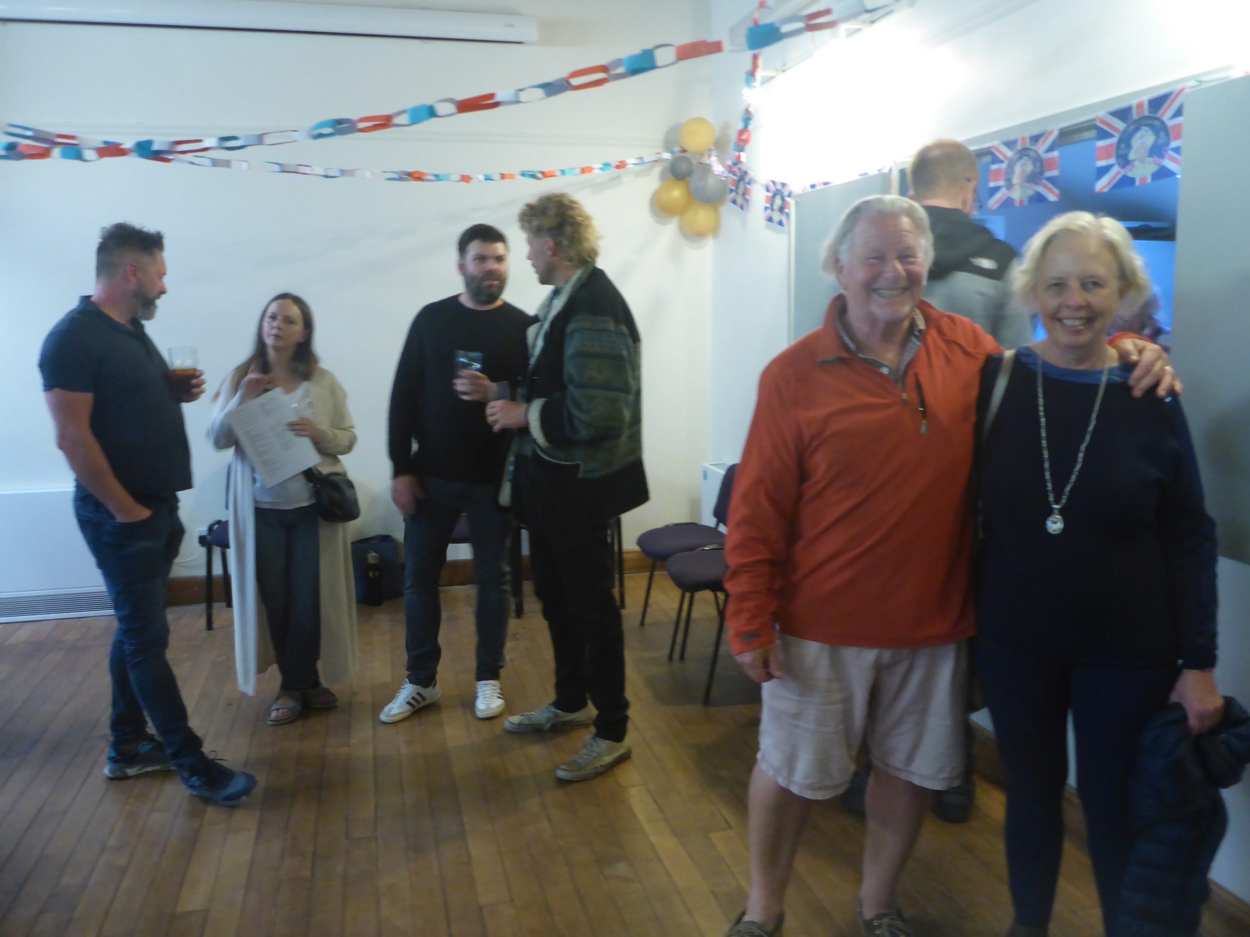
Jubilee musical evening (2 Jun 2022)

Jubilee musical evening (2 Jun 2022)
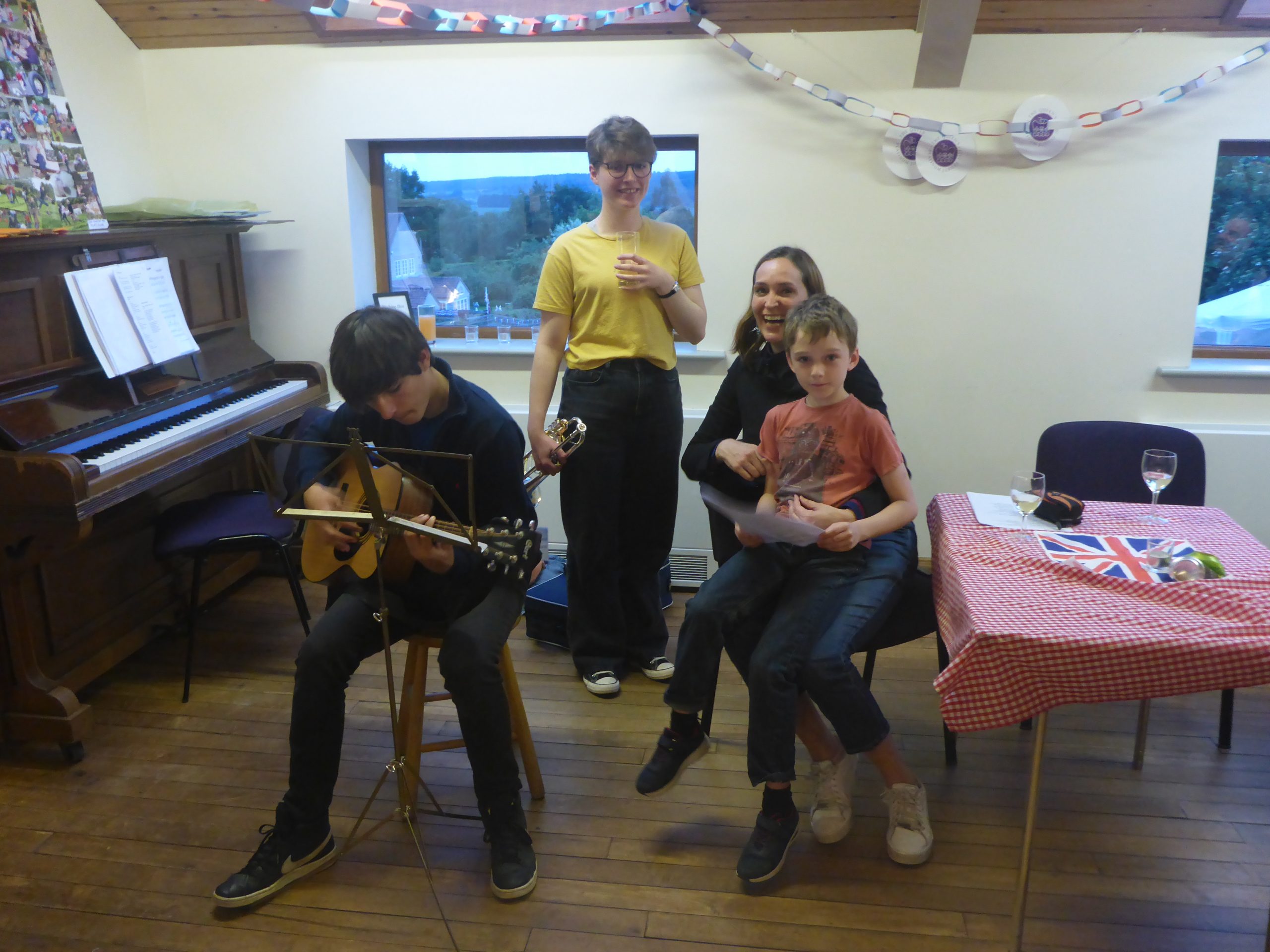
Jubilee musical evening (2 Jun 2022)
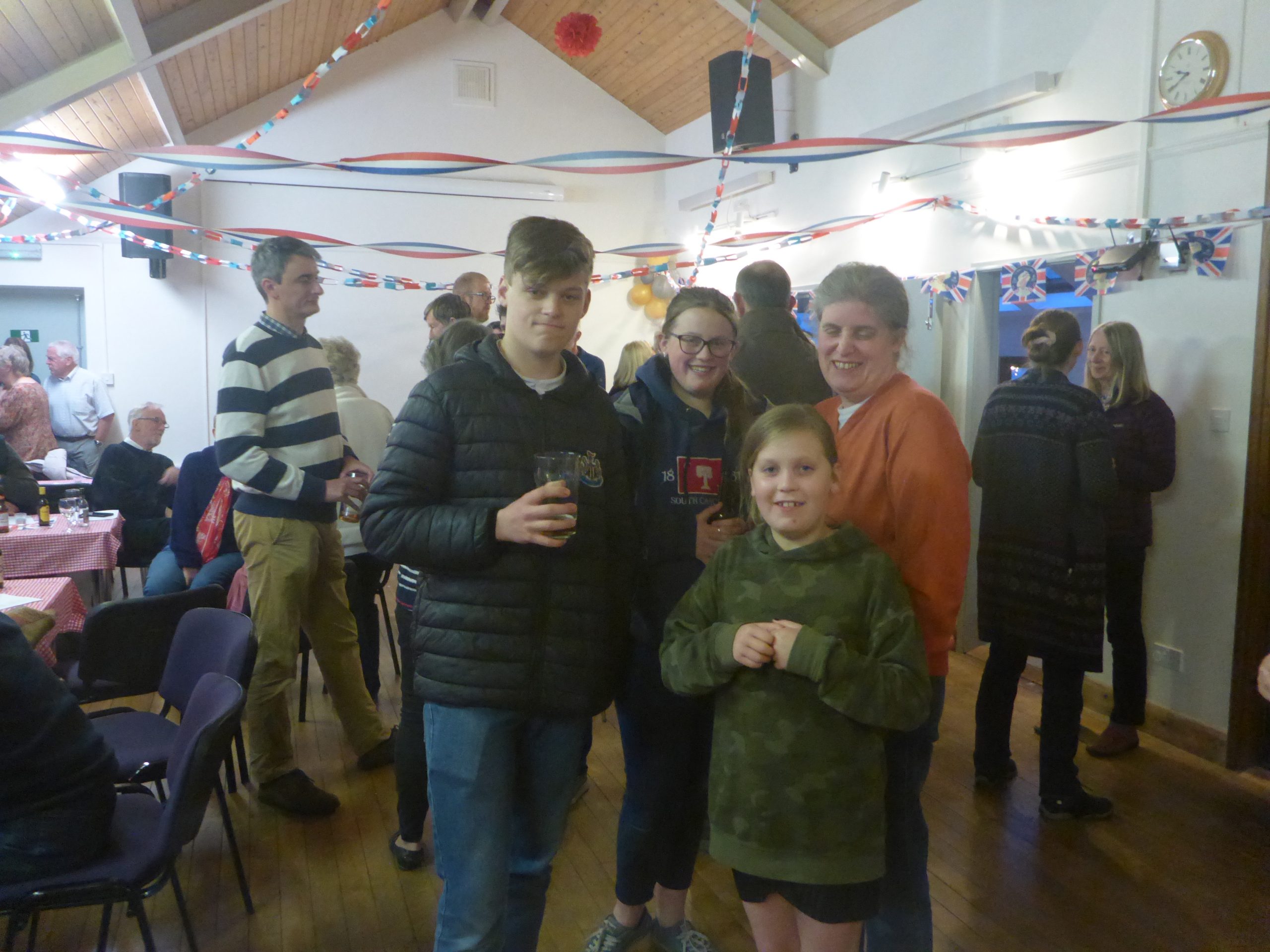
Jubilee musical evening (2 Jun 2022)
Jubilee beacon (2 Jun 2022)
Jubilee procession (3 Jun 2022)
Jubilee procession (3 Jun 2022)
Jubilee procession (3 Jun 2022)
Jubilee procession (3 Jun 2022)
Jubilee procession (3 Jun 2022)

Jubilee procession (3 Jun 2022)
Jubilee procession (3 Jun 2022)
Jubilee procession (3 Jun 2022)
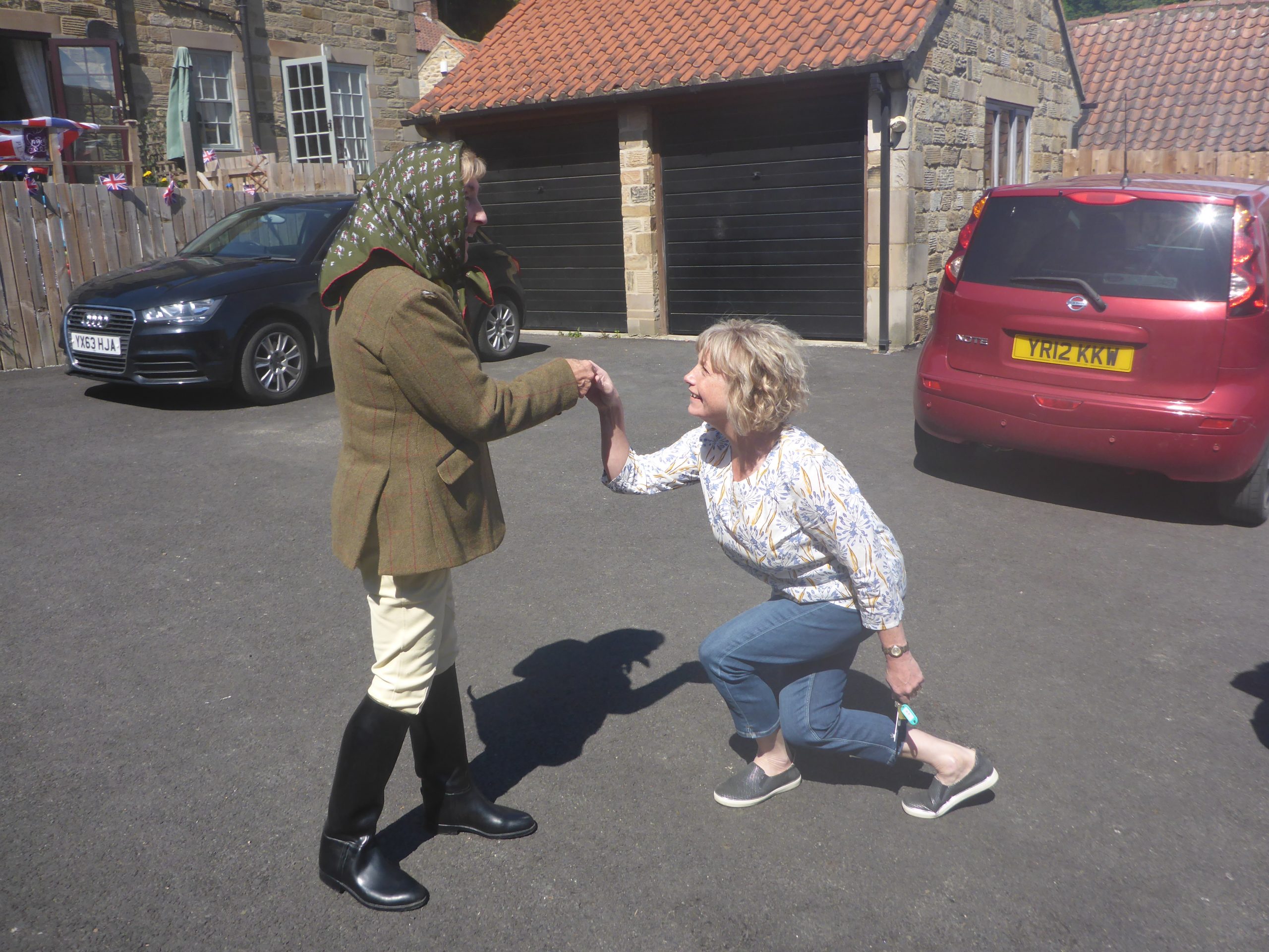
Jubilee procession (3 Jun 2022)
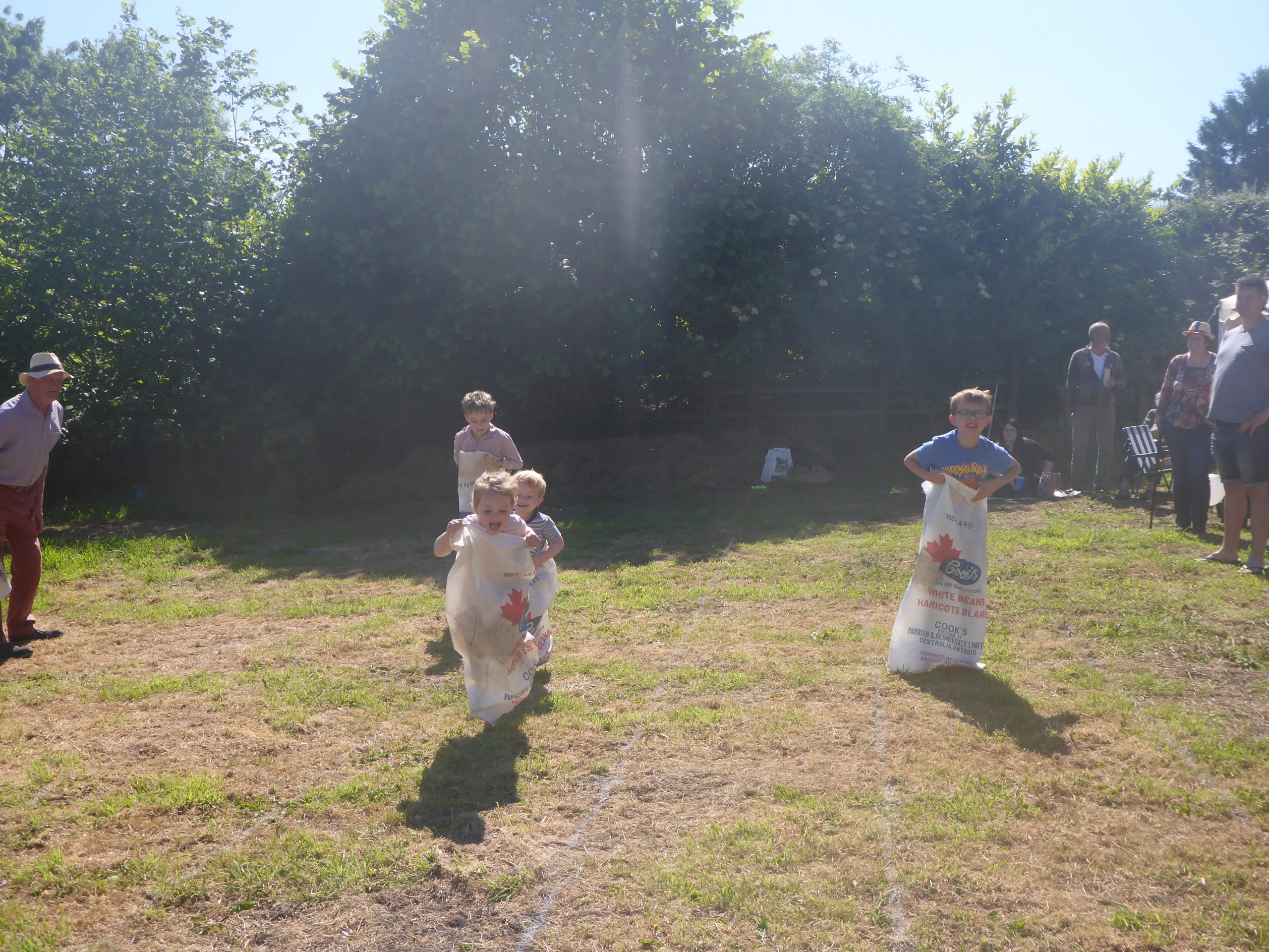
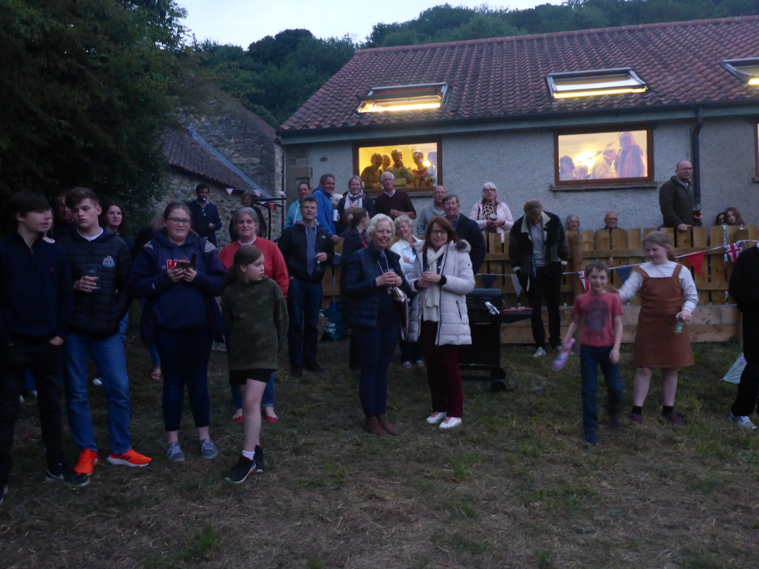
Jubilee barbecue (3 Jun 2022) – Sack race
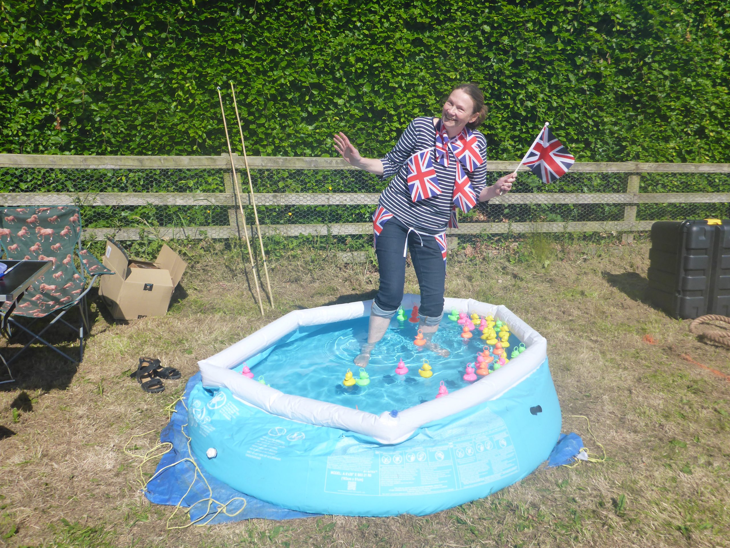
Jubilee barbecue (3 Jun 2022) – Hook a…. duck?

Jubilee barbecue (3 Jun 2022) – Races

Jubilee barbecue (3 Jun 2022) – Take the strain
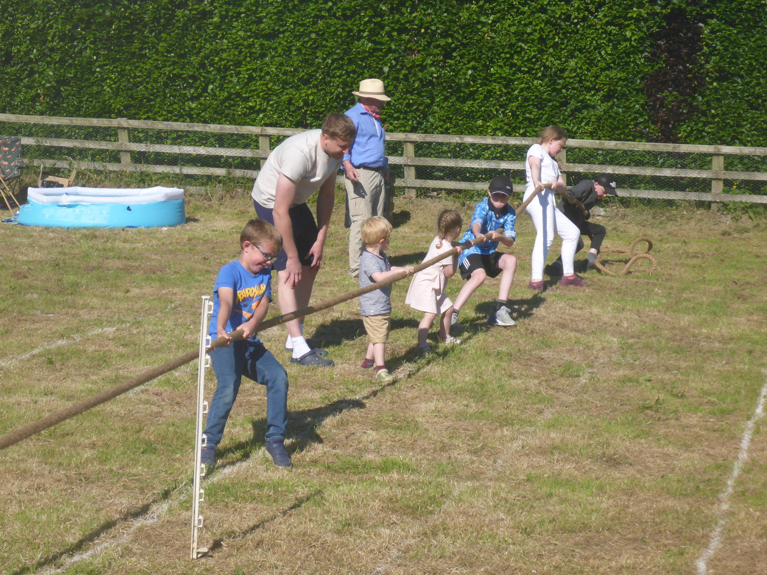
Jubilee barbecue (3 Jun 2022) – Heave!
Jubilee barbecue (3 Jun 2022)
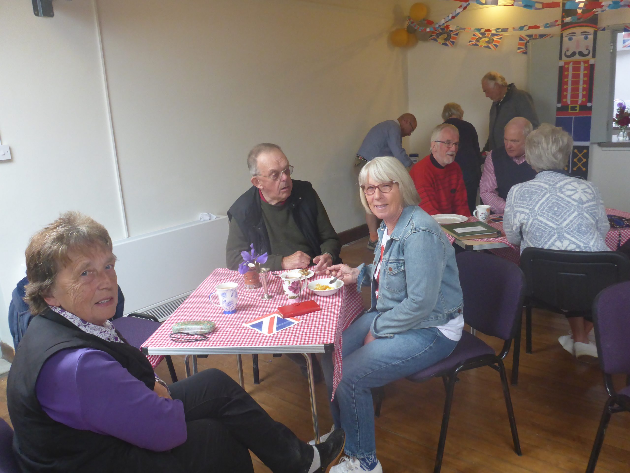
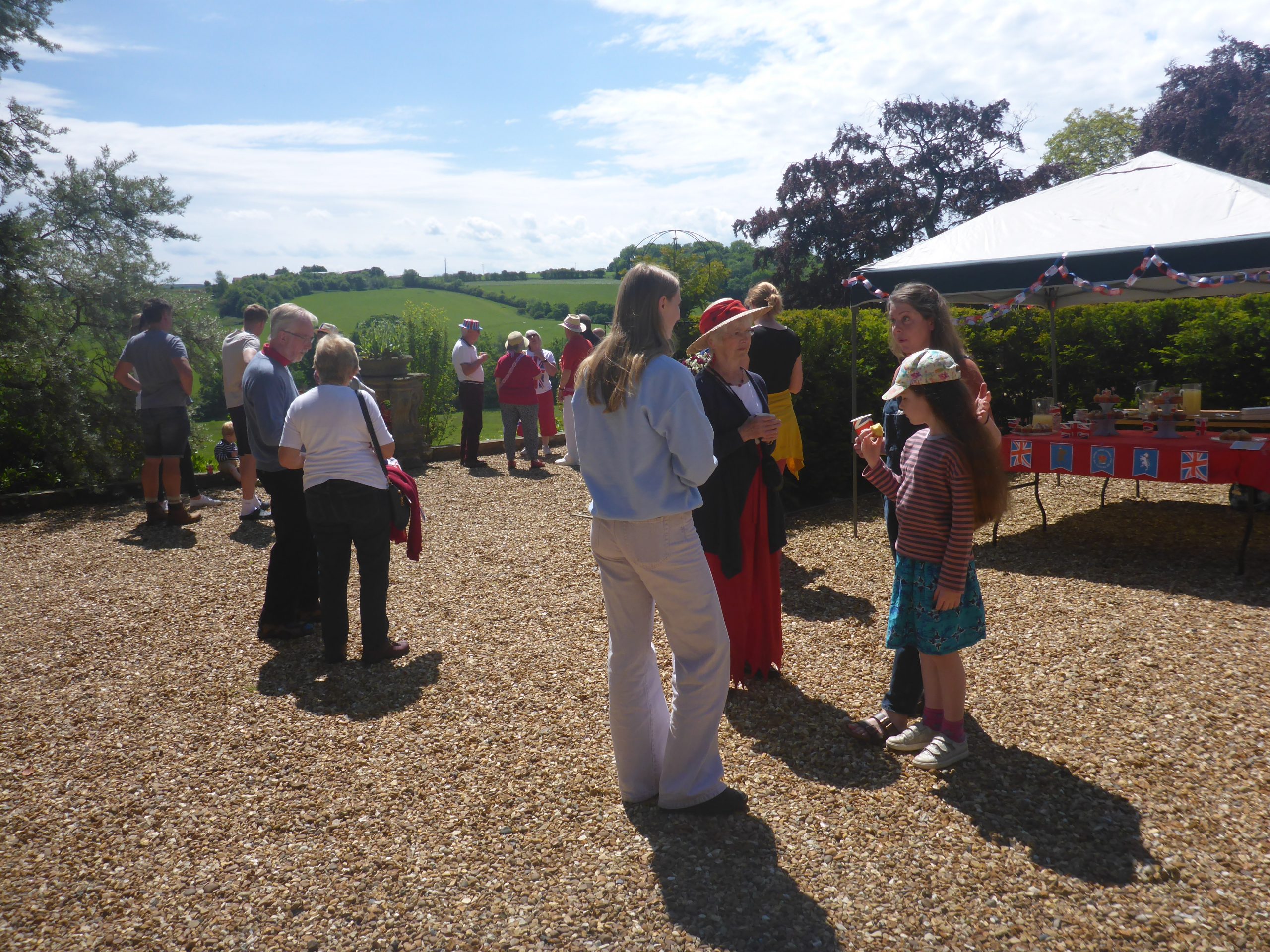
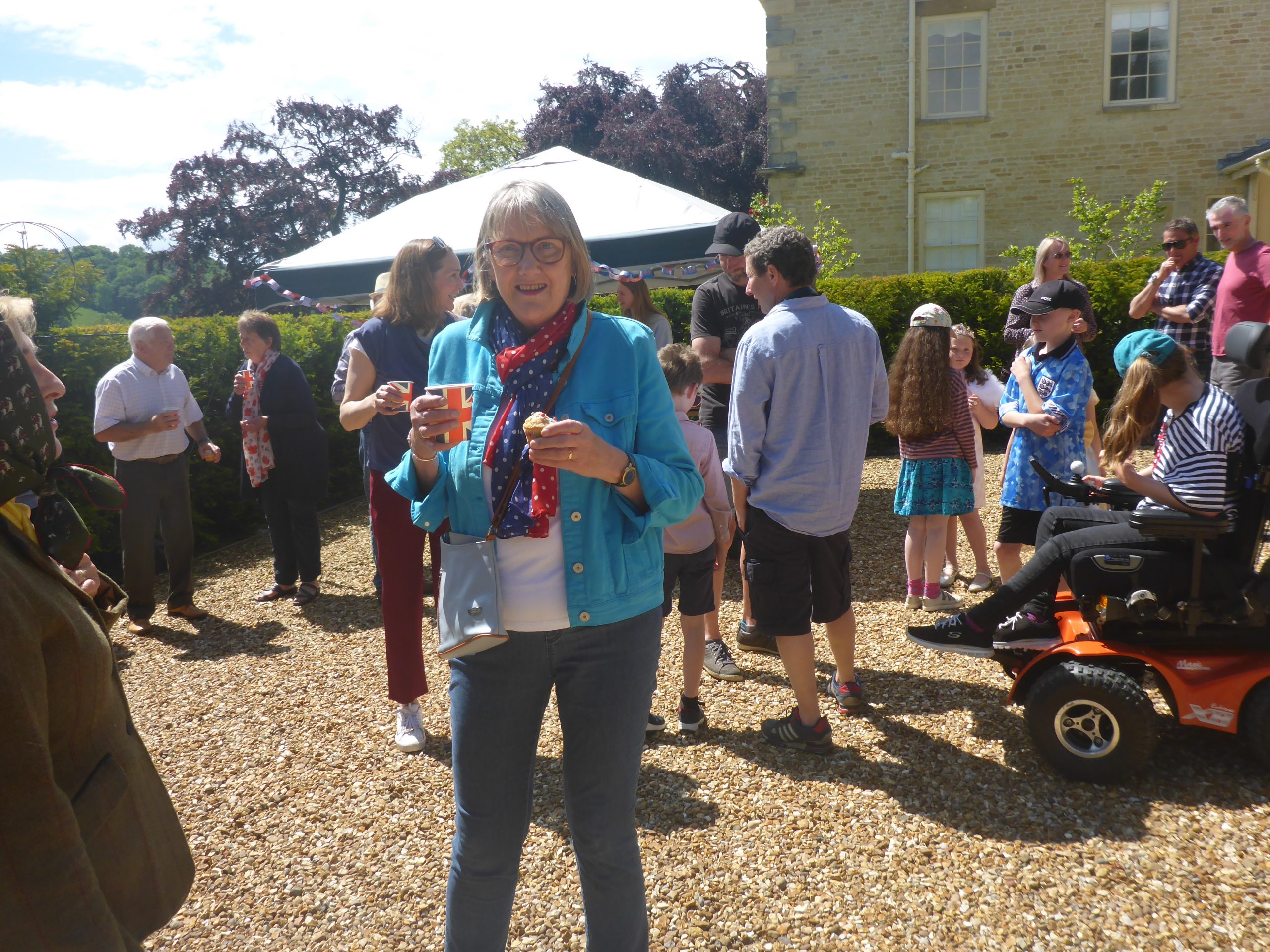
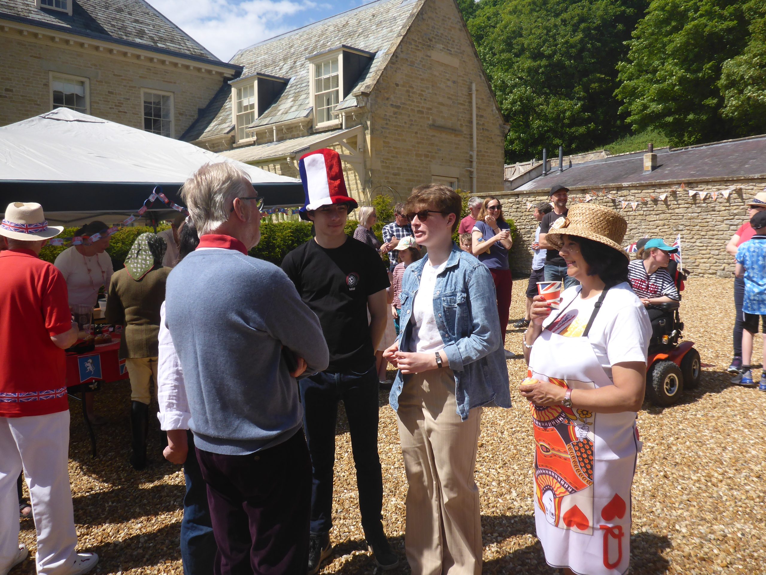
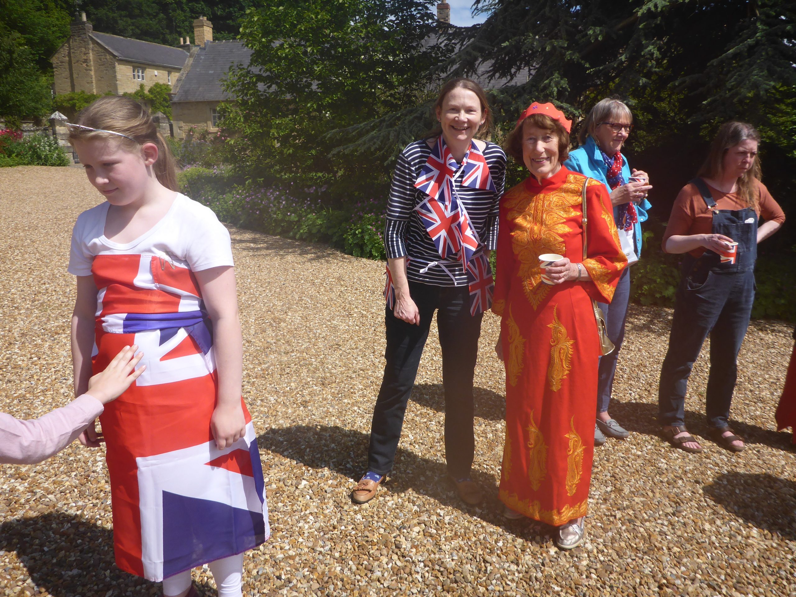
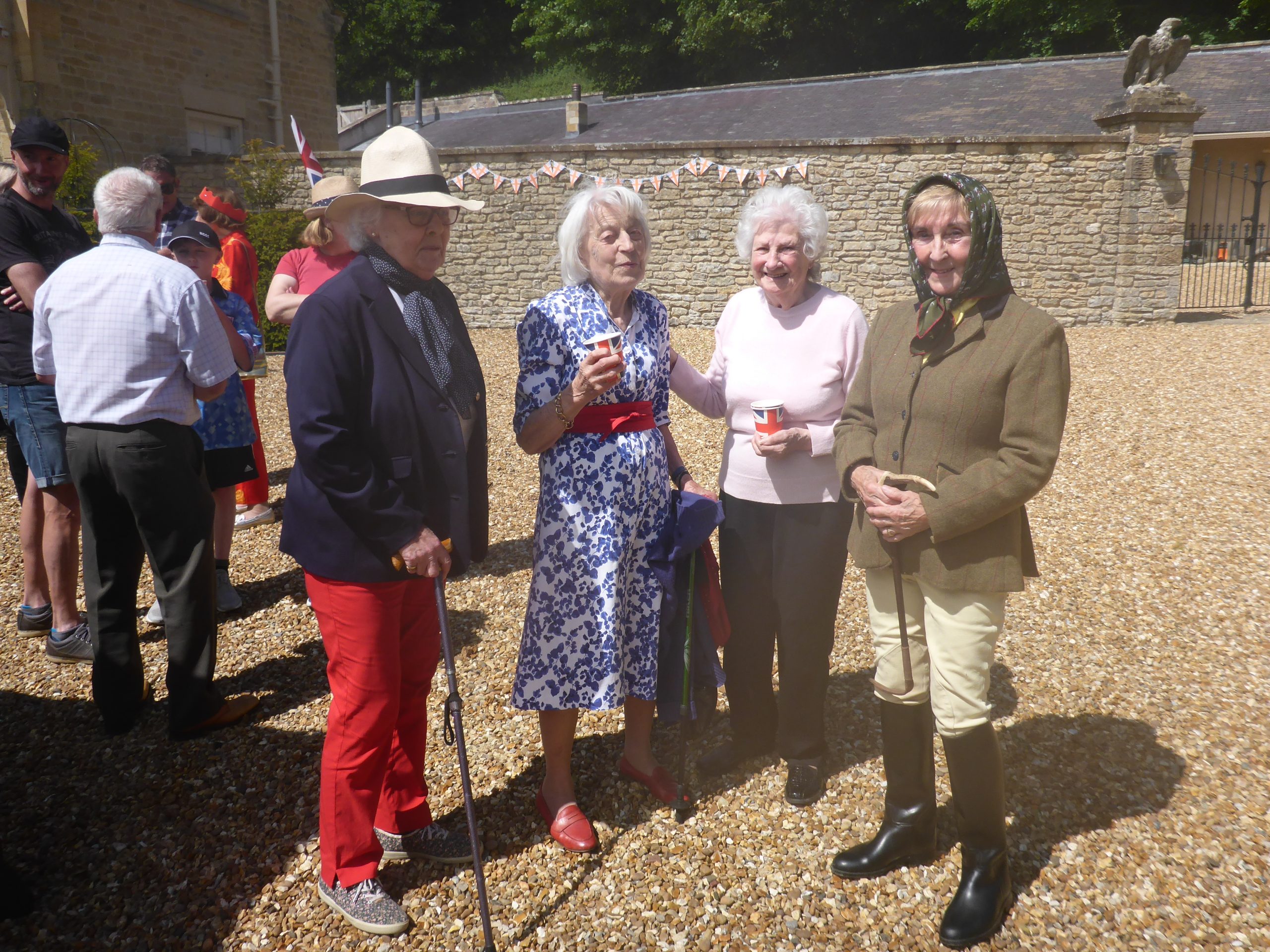
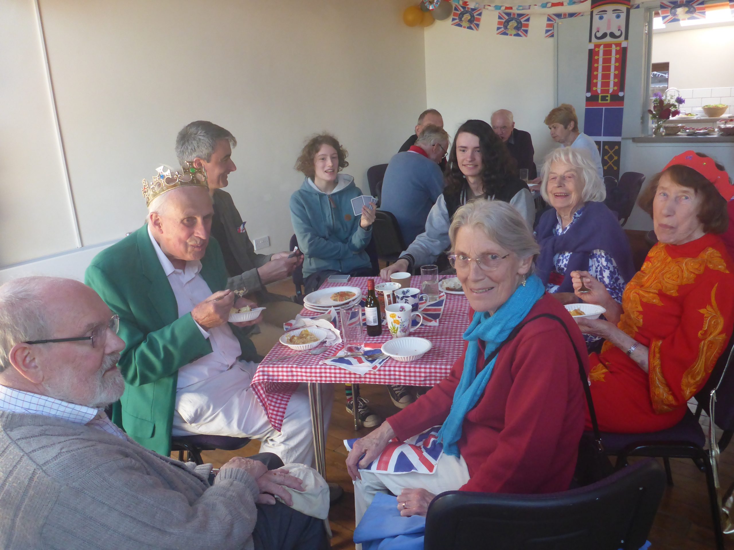
Coffee morning (4 Jun 2022)
Coffee morning (4 Jun 2022)
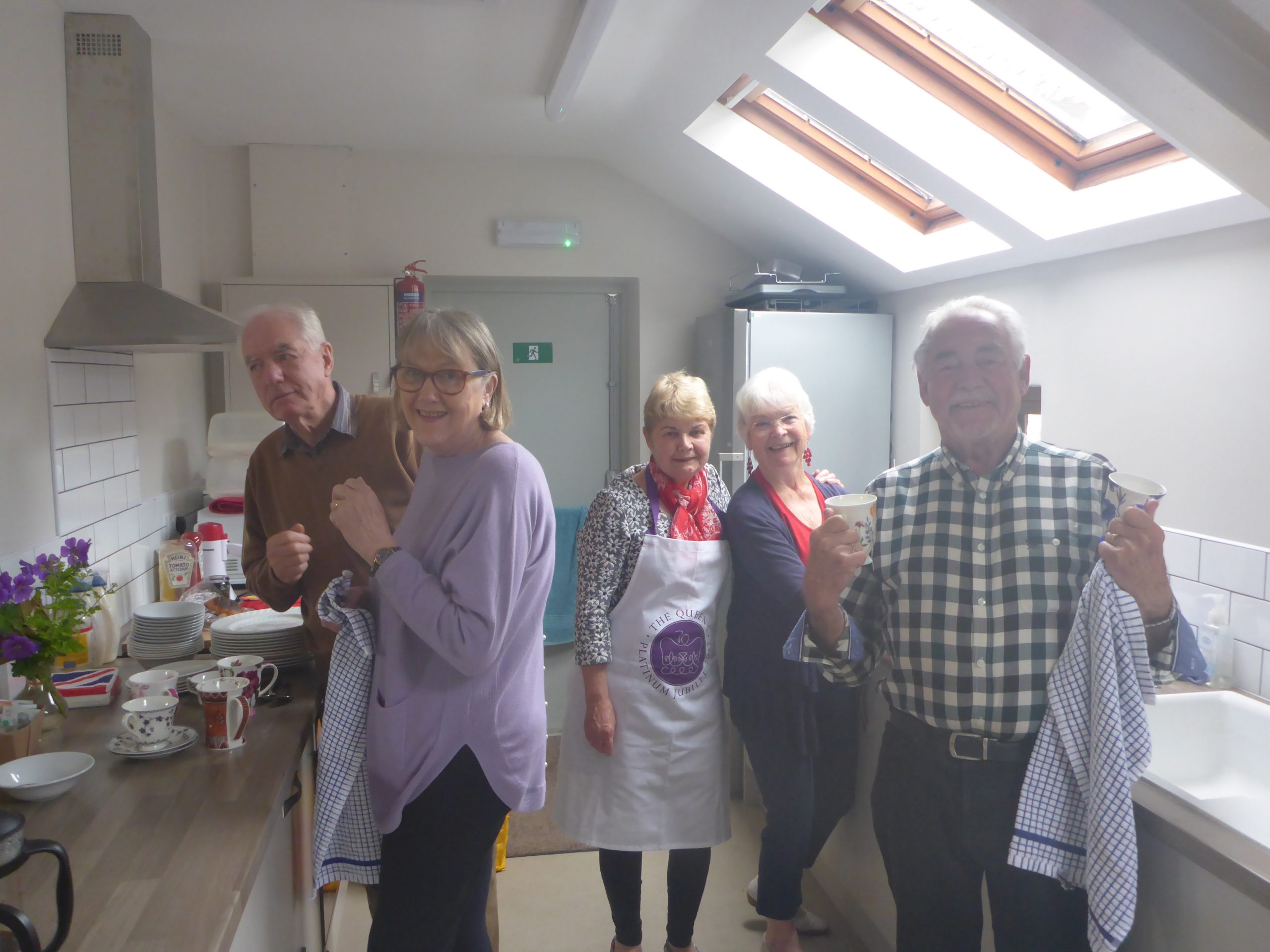
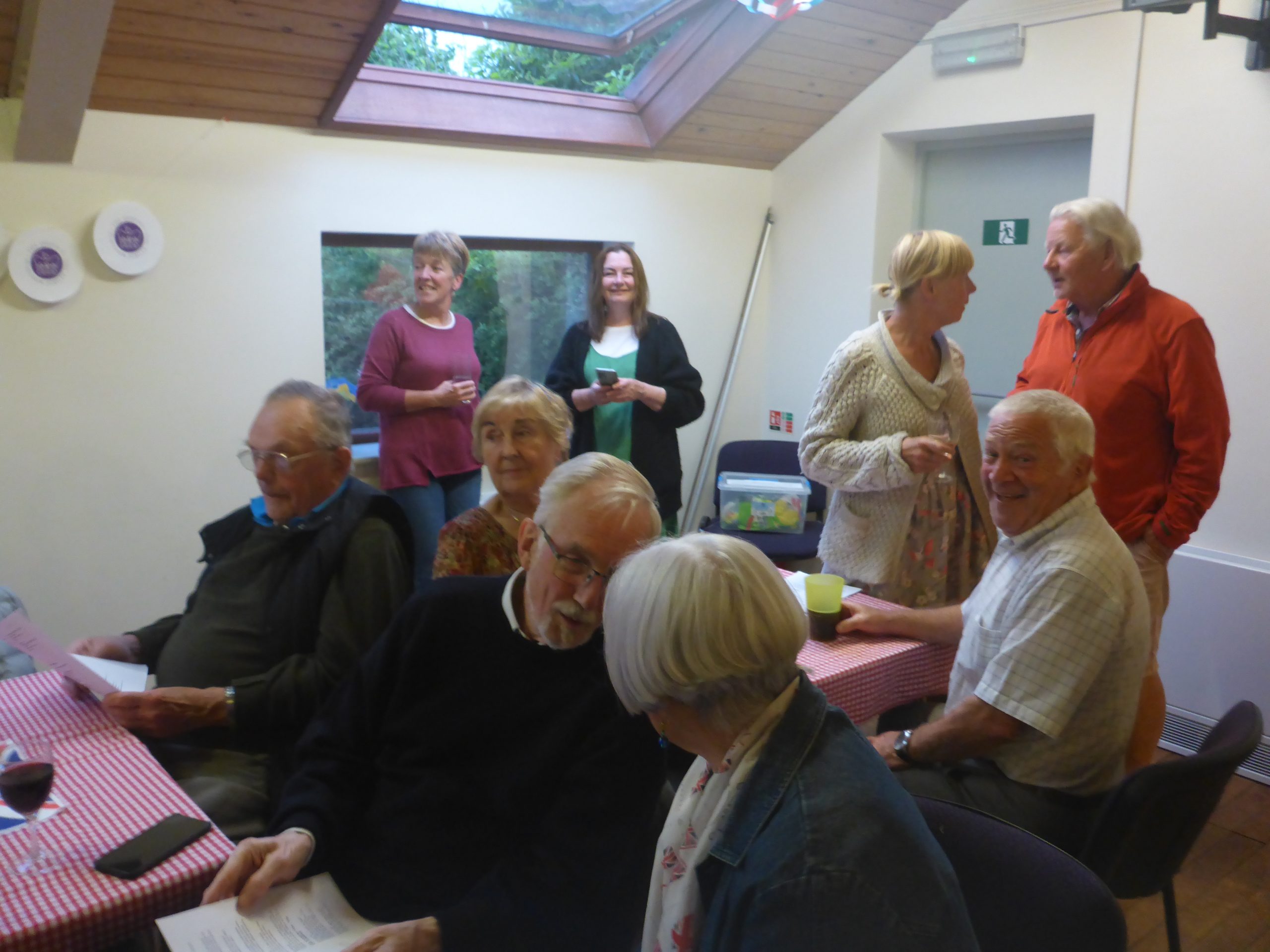
Coffee morning helpers (4 Jun 2022)
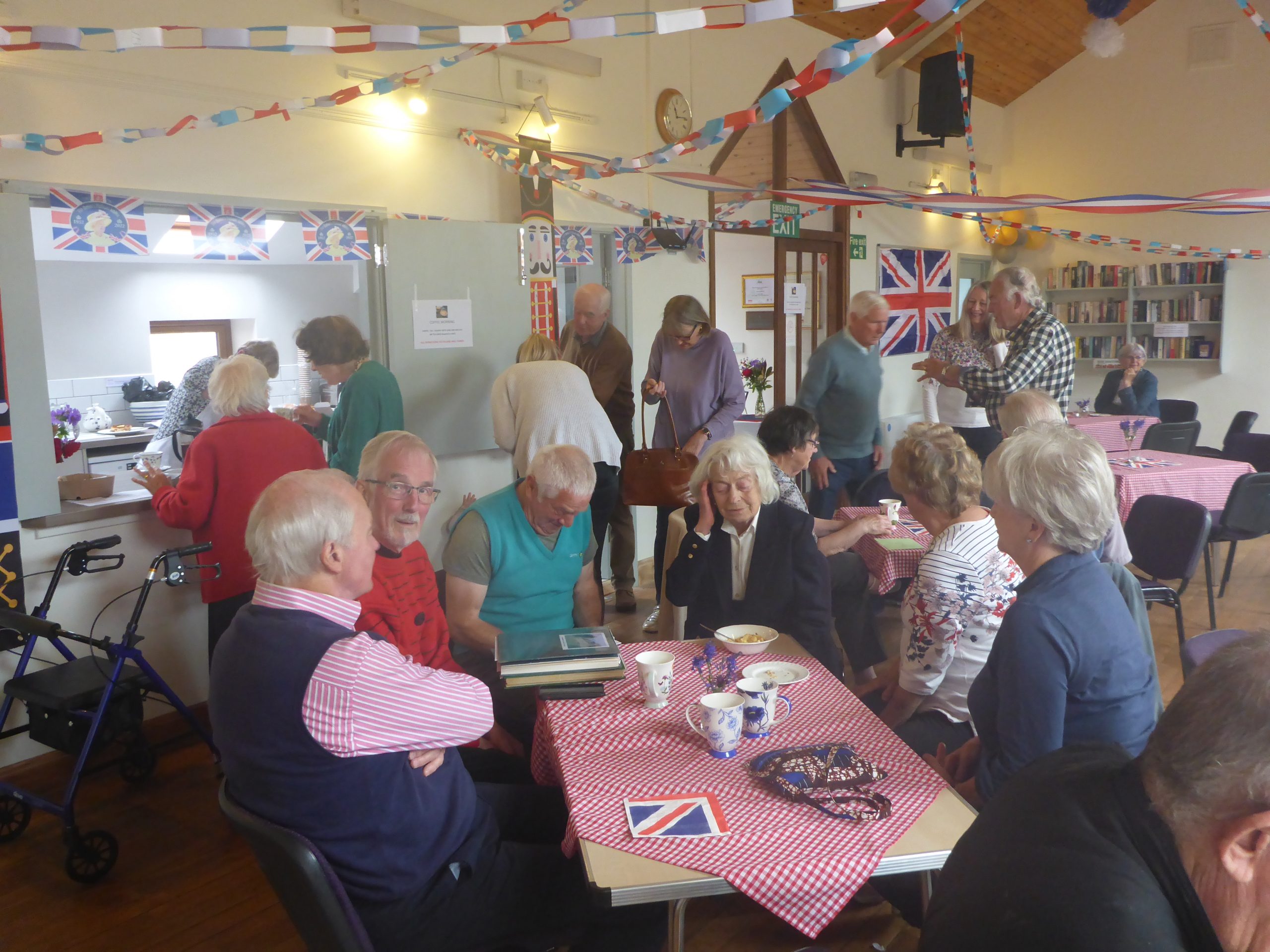
Coffee morning (4 Jun 2022)
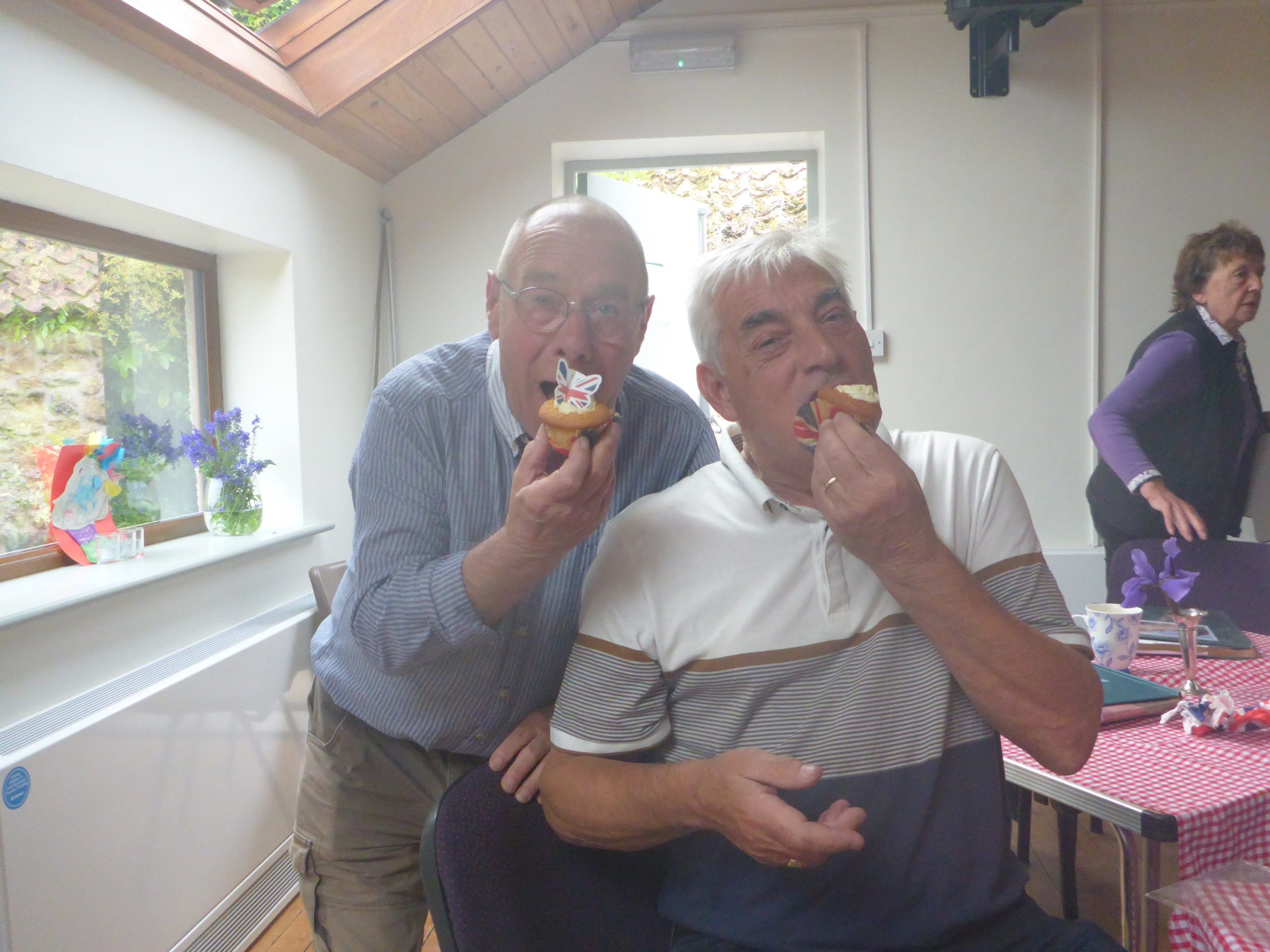
Coffee morning (4 Jun 2022)
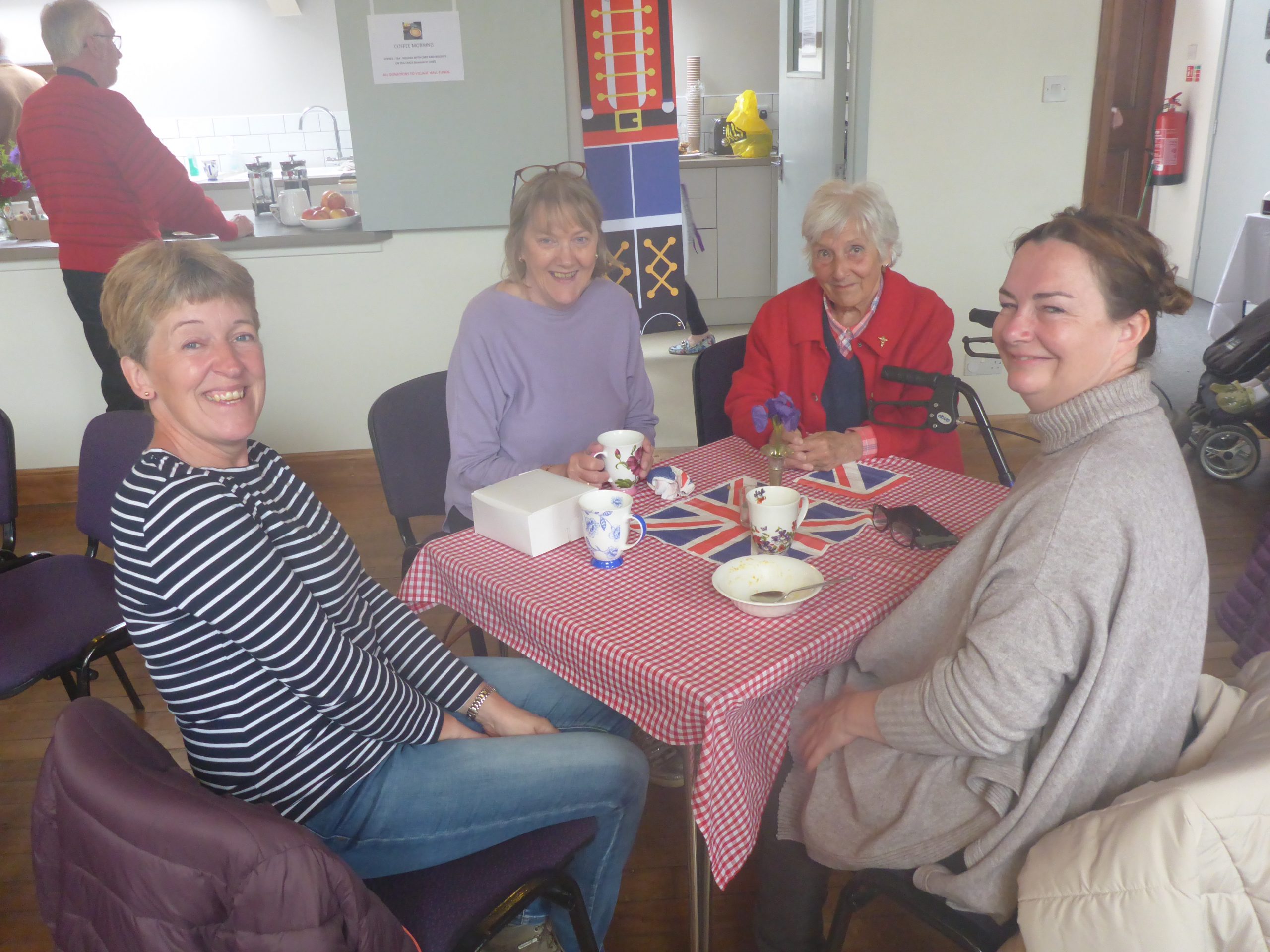
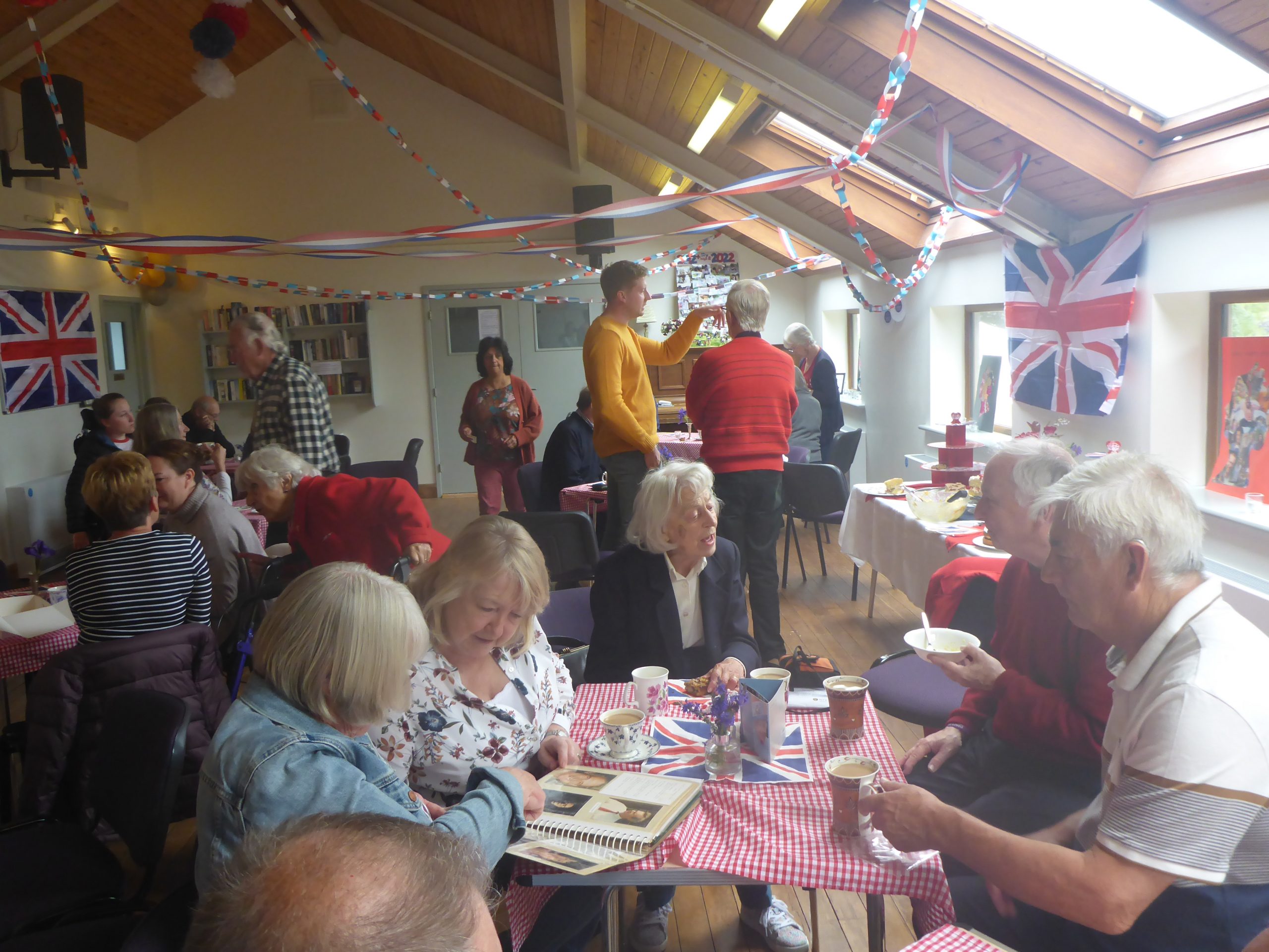
Coffee morning (4 Jun 2022)
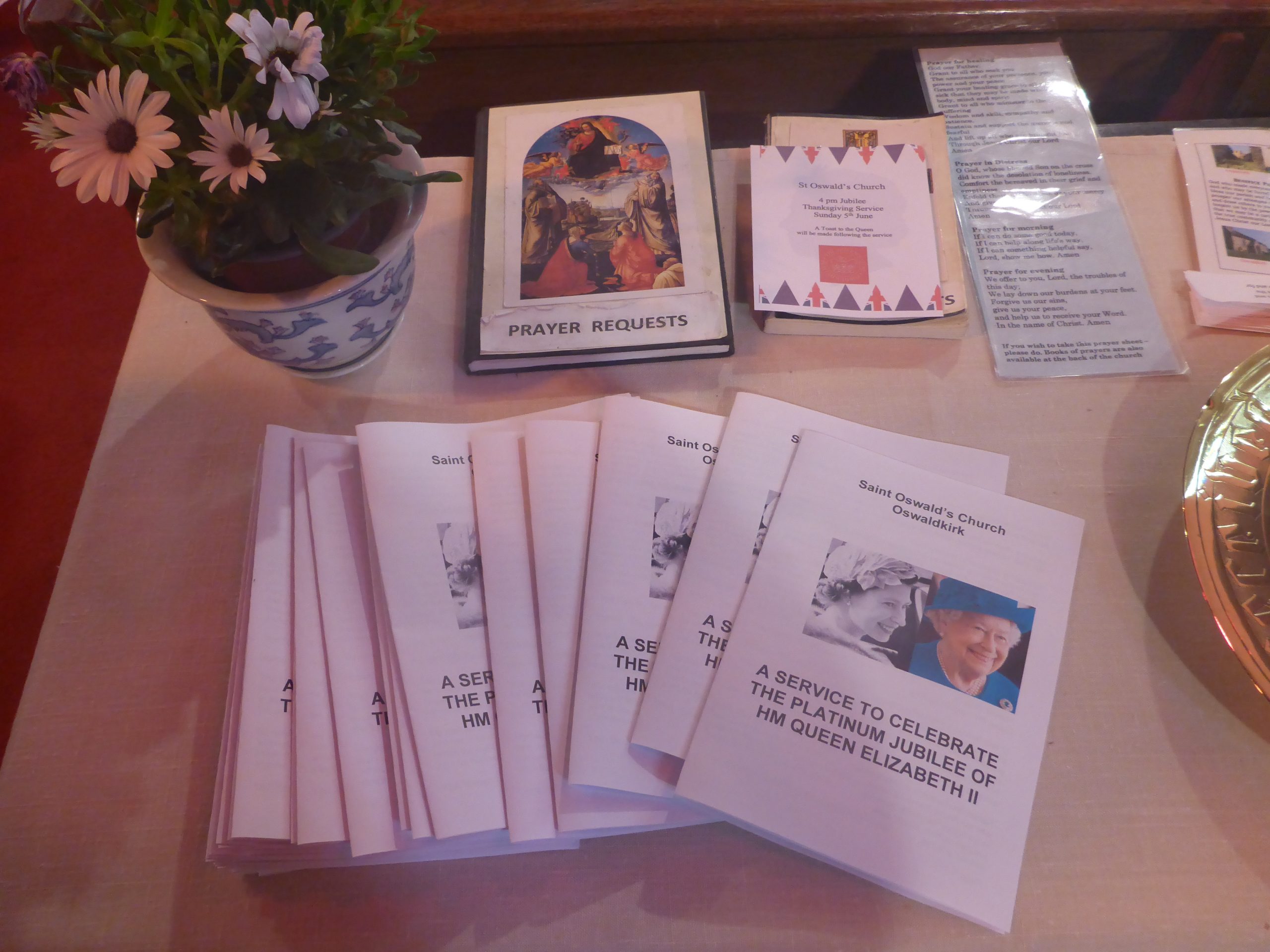
Jubilee church service (5 Jun 2022)
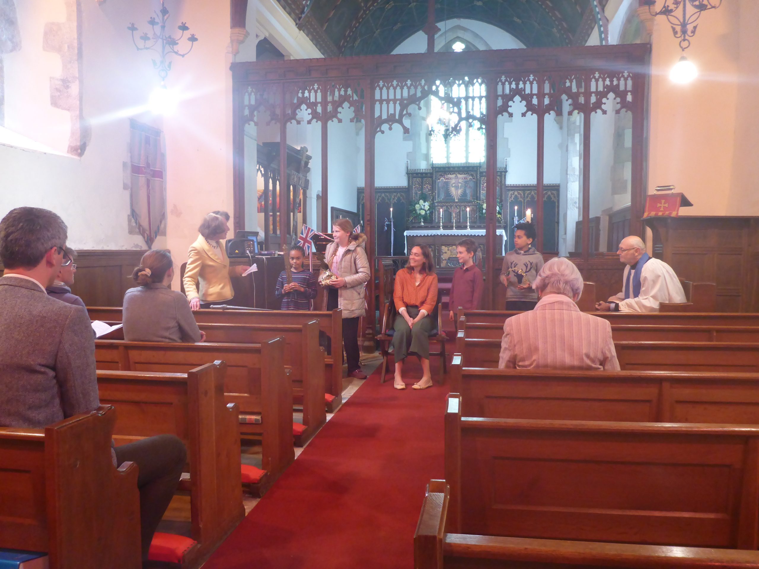
Jubilee church service (5 Jun 2022) – The children crowning Oswaldkirk’s ‘Queen’
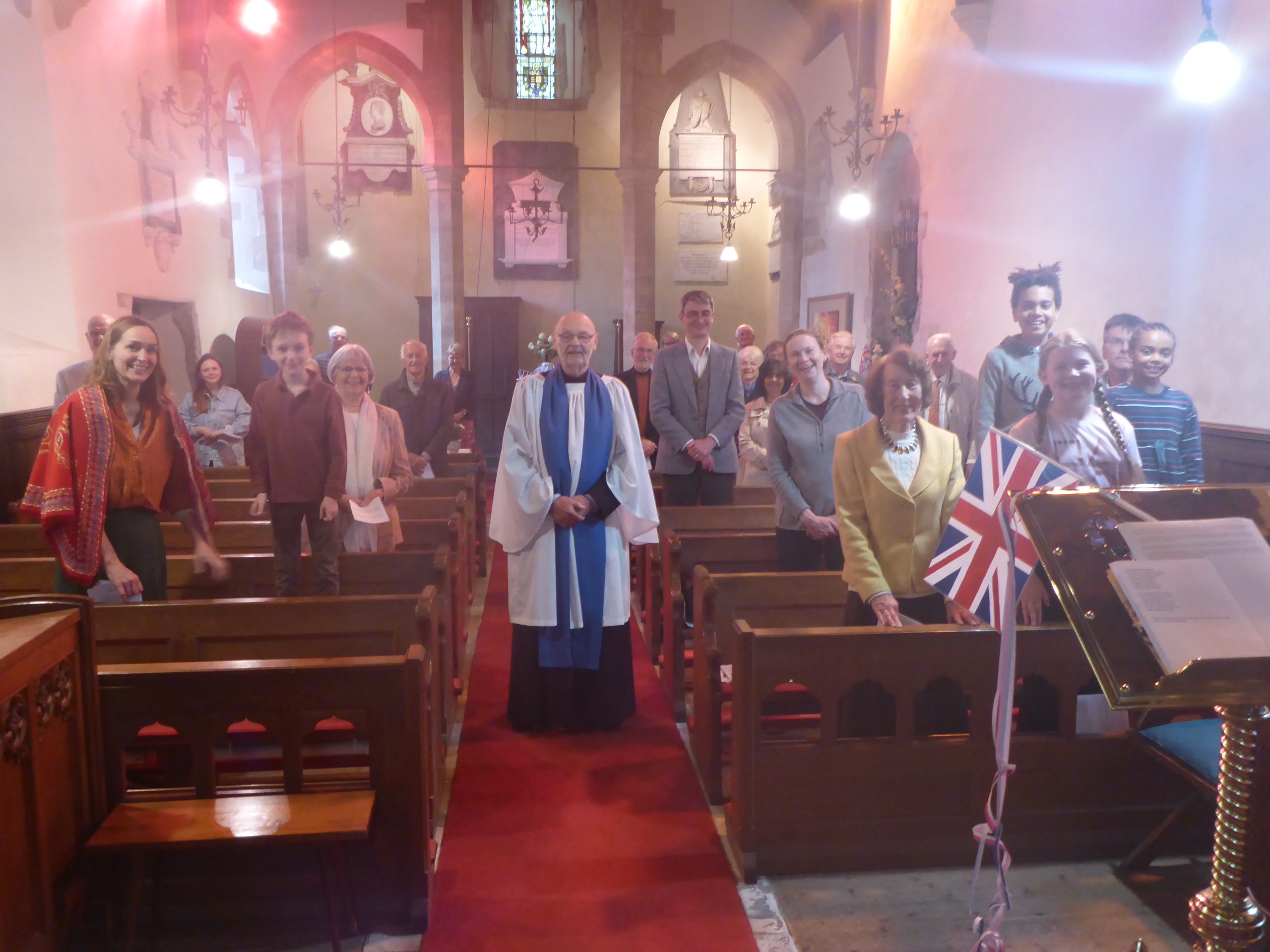
Jubilee church service (5 Jun 2022) – Congregation
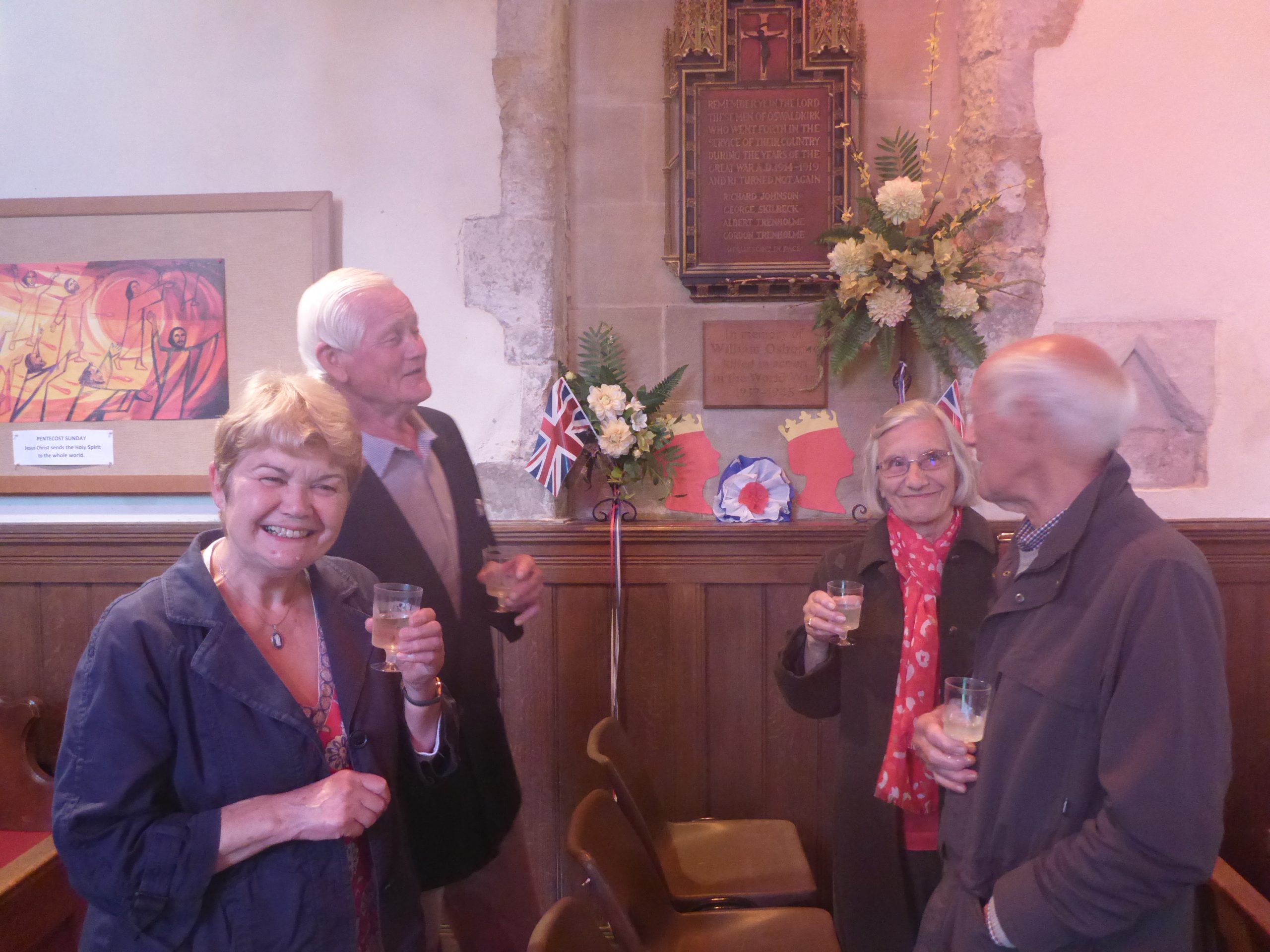
Jubilee church service (5 Jun 2022) – Toasting the queen
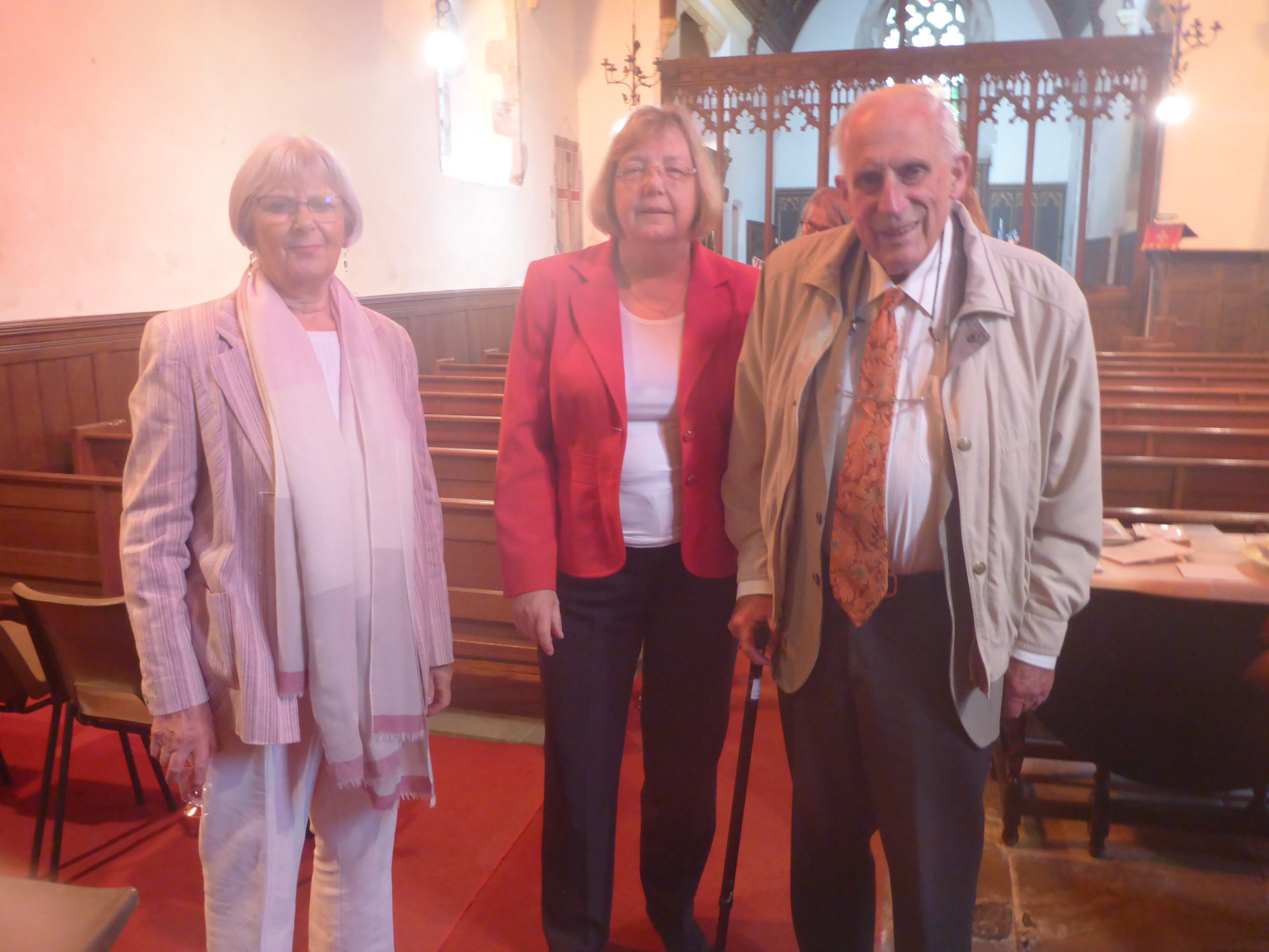
Jubilee church service (5 Jun 2022) – After the jubilee service
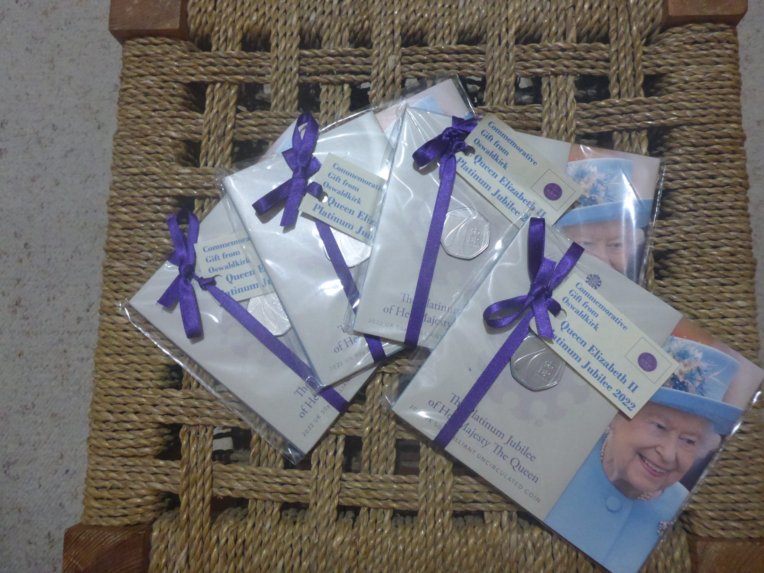
Jubilee coins